North Yorkshire
Memorials in North Yorkshire, by town. 985 memorials, 1,723 names transcribed so far.
Surnames on memorials in North Yorkshire (1,035 surnames)
North Yorkshire
- 433 Squadron RCAF crash Memorial, Skipton-on-Swale names not yet transcribed
-
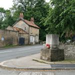 © David RogersCC BY-SA 2.0
Beadlam, Nawton and Skipham WWII Memorial
names not yet transcribed
-
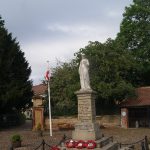 © Mtaylor848CC BY-SA 4.0
Boroughbridge War Memorial
7 names
-
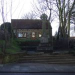 © JThomasCC BY-SA 2.0
Brotton War Memorial
names not yet transcribed
-
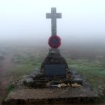 © Steve PartridgeCC BY-SA 2.0
Buckden Pike memorial
names not yet transcribed
-
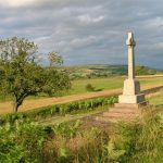 © Mick GarrattCC BY-SA 2.0
Castleton War Memorial, North Yorkshire
names not yet transcribed
-
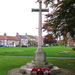 © Gordon HattonCC BY-SA 2.0
Catterick Village War Memorial
names not yet transcribed
-
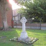 © Bob CantwellCC BY-SA 2.0
Cawood War Memorial
names not yet transcribed
-
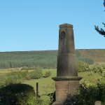 © Cosy KibbleCC BY-SA 4.0
Chop Gate WWI Memorial
9 names
-
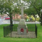 © Betty LongbottomCC BY-SA 2.0
Copmanthorpe War Memorial
names not yet transcribed
-
 © CD1965CC BY-SA 4.0
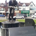
CSM S. E. Hollis VC Memorial Statue, Middlesbrough
names not yet transcribed
-
 © William MetcalfeCC BY-SA 2.0
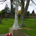
Dunnington WWI Memorial, North Yorkshire
names not yet transcribed
-
 © Mick GarrattCC BY-SA 2.0
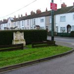
Dunsdale War Memorial
names not yet transcribed
-
 © Mick GarrattCC BY-SA 2.0
East Rounton War Memorial
names not yet transcribed
-
 © Maigheach-ghealCC BY-SA 2.0
East Witton War Memorial
names not yet transcribed
-
 © Chemical EngineerCC BY-SA 4.0
Fulford War Memorial
42 names
-
 © Alexander P KappCC BY-SA 2.0
Gargrave War Memorial
names not yet transcribed
-
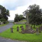 © Trish SteelCC BY-SA 2.0
Gillamoor War Memorial
names not yet transcribed
-
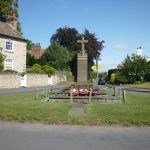 © Ian SCC BY-SA 2.0
Goldsborough War Memorial, Harrogate
names not yet transcribed
-
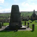 © Chris DownerCC BY-SA 2.0
Grinton, Marrick and Reeth War Memorial
names not yet transcribed
-
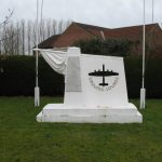 © Gordon HattonCC BY-SA 2.0
Groups Lourds Francais Memorial, Elvington, North Yorkshire
names not yet transcribed
-
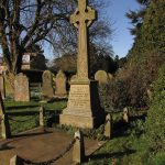 © David RogersCC BY-SA 2.0
Hampsthwaite War Memorial
13 names
-
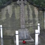 © jolmartynCC BY-SA 3.0
Harrogate Hospital War Memorial
9 names
-
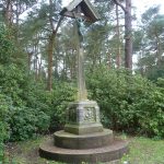 © MarathonCC BY-SA 2.0
Harrogate WWI Memorial Calvary, Valley Gardens
names not yet transcribed
-
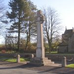 © Humphrey BoltonCC BY-SA 2.0
Hellifield War Memorial
names not yet transcribed
-
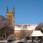 © Alison StampCC BY-SA 2.0
Helmsley War Memorial
names not yet transcribed
-
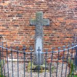 © Bill HendersonCC BY-SA 2.0
Hirst Courtney War Memorial
names not yet transcribed
-
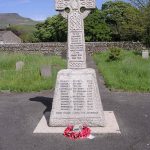 © Betty LongbottomCC BY-SA 2.0
Horton in Ribblesdale War Memorial
12 names
-
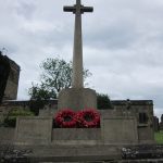 © Ian SCC BY-SA 2.0
Husthwaite War Memorial
names not yet transcribed
-
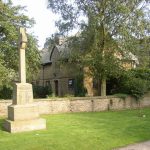 © Humphrey BoltonCC BY-SA 2.0
Hutton Buscel War Memorial
names not yet transcribed
-
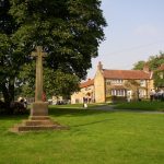 © Humphrey BoltonCC BY-SA 2.0
Hutton-le-Hole War Memorial
names not yet transcribed
-
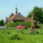 © George TodCC BY-SA 2.0
Ingleby Arncliffe War Memorial
names not yet transcribed
- Keld War Memorial, North Yorkshire names not yet transcribed
-
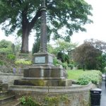 © Alexander P KappCC BY-SA 2.0
Kildwick War Memorial
names not yet transcribed
-
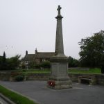 © Richard LawCC BY-SA 2.0
Killinghall War Memorial
names not yet transcribed
-
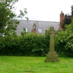 © David RogersCC BY-SA 2.0
Kirby Hill War Memorial, Harrogate
names not yet transcribed
-
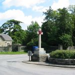 © Phil CatterallCC BY-SA 2.0
Kirby Misperton War Memorial
names not yet transcribed
-
 © Tim Green from BradfordCC BY 2.0
Knaresborough War Memorial
names not yet transcribed
-
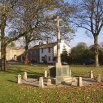 © Humphrey BoltonCC BY-SA 2.0
Long Preston War Memorial
names not yet transcribed
-
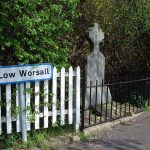 © Stephen McCullochCC BY-SA 2.0
Low Worsall War Memorial
names not yet transcribed
-
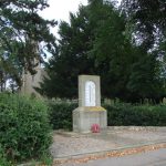 © Bill HendersonCC BY-SA 2.0
Lower Dunsforth War Memorial
names not yet transcribed
-
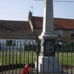 © Stanley HoweCC BY-SA 2.0
Newsham War Memorial, Richmondshire
6 names
-
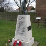 © Nick WCC BY-SA 2.0
No. 6 Group RCAF Memorial, Dalton
On Tees · names not yet transcribed
- No. 6 Group RCAF Memorial, Wombleton names not yet transcribed
-
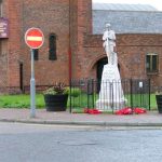 © Mick GarrattCC BY-SA 2.0
North Ormesby War Memorial
names not yet transcribed
-
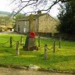 © Michael SteeleCC BY-SA 2.0
Ramsgill War Memorial
names not yet transcribed
-
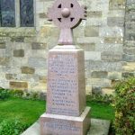 © Maigheach-ghealCC BY-SA 2.0
Raskelf War Memorial
7 names
-
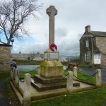 © Alexander P KappCC BY-SA 2.0
Rathmell War Memorial
names not yet transcribed
-
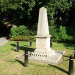 © David WardCC BY-SA 2.0
Selby War Memorial
names not yet transcribed
-
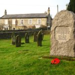 © David RogersCC BY-SA 2.0
Sinnington War Memorial
5 names
-
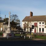 © Stephen McCullochCC BY-SA 2.0
Skelton-in-Cleveland War Memorial
names not yet transcribed
-
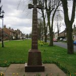 © John S TurnerCC BY-SA 2.0
Sowerby War Memorial, North Yorkshire
names not yet transcribed
-
 © Michael JaggerCC BY-SA 2.0
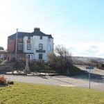
Staithes War Memorial, North Yorkshire
22 names
-
 © Malcolmxl5CC BY-SA 4.0
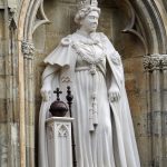
Statue of Elizabeth II
of Elizabeth II
-
 © Mick GarrattCC BY-SA 2.0
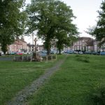
Stokesley War Memorial
names not yet transcribed
-
 © Plucas58CC BY-SA 4.0
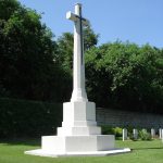
Stonefall Cemetery Cross of Sacrifice, Harrogate
names not yet transcribed
-
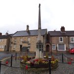 © Stephen CravenCC BY-SA 2.0
Tadcaster war memorial
names not yet transcribed
-
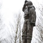 © The joy of all thingsCC BY-SA 4.0
Thornaby Aerodrome Memorial
names not yet transcribed
-
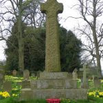 © Maigheach-ghealCC BY-SA 2.0
Thornton Watlass War Memorial
13 names
-
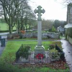 © Alexander P KappCC BY-SA 2.0
Thornton-in-Craven War Memorial
names not yet transcribed
-
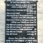 © Humphrey BoltonCC BY-SA 2.0
Toll board, Low Bentham
-
 © Allan FriswellCC BY-SA 2.0
Wellington HZ 251 Crash Memorial, Low Bradley
names not yet transcribed
- Wellington HZ 251 Memorial, Low Bradley names not yet transcribed
-
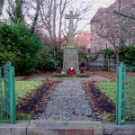 © David RogersCC BY-SA 2.0
Whixley War Memorial
names not yet transcribed
-
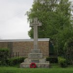 © Ian SCC BY-SA 2.0
Wintringham War Memorial
names not yet transcribed
-
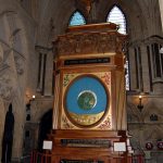 © Steven FruitsmaakPublic Domain Mark
York Minster astronomical clock War Memorial
names not yet transcribed
-
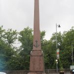 © Chabe01CC BY-SA 4.0
Yorkshire Regiment Boer War Memorial
57 names
Ainderby Steeple
Aislaby
-
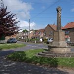 © Stephen McCullochCC BY-SA 2.0
Aislaby War Memorial
names not yet transcribed
-
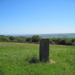 © Martin DawesCC BY-SA 2.0
Swarth Howe Cross
Akebar
Aldbrough
Aldfield
Alne
Amotherby
- Boundary marker, Amotherby
-
 © J HowatCC BY-SA 2.0
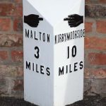
Milepost Approximately 1 Metre West Of The Stable Range To Station Farm
Appleton Roebuck
- Appleton Roebuck War Memorial names not yet transcribed
Appleton-le-Moors
Arkengarthdale
-
 © Tony MercerCC BY-SA 2.0
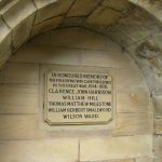
Langthwaite War Memorial
names not yet transcribed
Aske
-
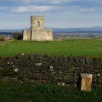 © David RogersCC BY-SA 2.0
Mile-Post At Richmond Boundary
-
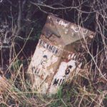 © Milestone SocietyCC BY-SA 2.0
Milepost Almost Opposite Low Lodge
Askham Bryan
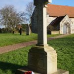
Austwick
-
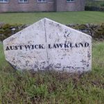 © Milestone SocietyCC BY-SA 2.0
Boundary marker, Austwick
-
 © Roger TemplemanCC BY-SA 2.0
Boundary Stone About 300 Metres South Of Field House
-
 © Milestone SocietyCC BY-SA 2.0
Boundary Stone About 500 Metres East South East Of Far End Barn
Aysgarth
-
 © David DixonCC BY-SA 2.0
Aysgarth War Memorial
3 names
-
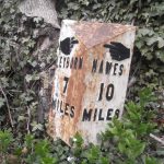 © Chris MintoCC BY-SA 2.0
Milestone, Heads Bank, Aysgarth
Aysgarth
Bainbridge
Baldersby
Barkston Ash
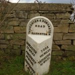
Barton-le-Street
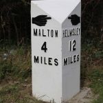
Barugh (Great and Little)
-
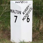 © J HowatCC BY-SA 2.0
Milestone, Barugh (Great and Little)
-
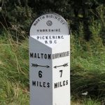 © J HowatCC BY-SA 2.0
Milestone, Barugh (Great and Little)
Beadlam
Bedale
-
 © The joy of all thingsCC BY-SA 4.0
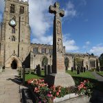
War Memorial to South of St Gregory’s Church
names not yet transcribed
Bentham
Bilbrough
Bilton-in-Ainsty with Bickerton
-
 © Mtaylor848CC BY-SA 3.0
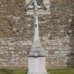
Bilton-in-Ainsty with Bickerton War Memorial Cross
names not yet transcribed
-
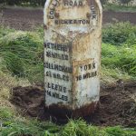 © Alan RosevearCC BY-SA 2.0
Mile Post Approximately 350 Metres East Of Turning To Bickerton
-
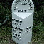 © C MintoCC BY-SA 2.0
Mile Post Approximately 400 Metres West Of Turning To Bilton
-
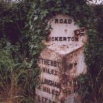 © Christine MintoCC BY-SA 2.0
Mile-Post 150 Metres East Of Springs Lane
Birdforth

Birkby
Bishop Monkton
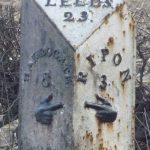
Bishopthorpe
-
 © JThomasCC BY-SA 2.0
Bishopthorpe village sign
-
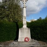 © Ian SCC BY-SA 2.0
Bishopthorpe War Memorial
14 names
Blubberhouses
Bolton Abbey
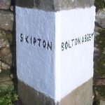
Boroughbridge
-
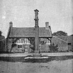 © LeadmanPublic Domain Mark
Aldborough Cross
names not yet transcribed
-
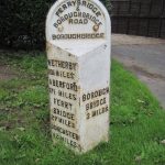 © Martin DawesCC BY-SA 2.0
Milepost 100 Yards South West Of Ornhams Grange
Brandsby-cum-Stearsby
-
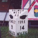 © Christine MintoCC BY-SA 2.0
Mile Post Approximately 100 Metres East Of Junction With Yearsley Road
-
 © Christine MintoCC BY-SA 2.0
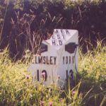
Mile Post Approximately 100 Metres South Of Walter End Farm
Bransdale
-
 © Milestone SocietyCC BY-SA 2.0
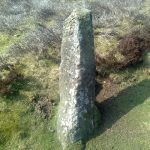
Bloworth Guidestone
- Boundary marker, Bransdale
- Boundary marker, Bransdale
- Boundary marker, Bransdale
-
 © Milestone SocietyCC BY-SA 2.0
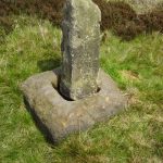
Cockan Cross wayside cross 600m west of Fox Hole Crag
-
 © Milestone SocietyCC BY-SA 2.0
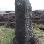
Fingerpost, Bransdale
-
 © Milestone SocietyCC BY-SA 2.0
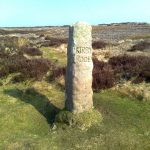
Fingerpost, Bransdale
Brayton
Brompton
-
 © Bob EmbletonCC BY-SA 2.0
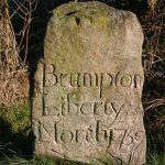
‘Brumpton Liberty North’ Boundary Stone
- Brompton-by-Sawdon War Memorial names not yet transcribed
Brompton-on-Swale
- Brompton-On-Swale War Memorial names not yet transcribed
-
 © Chris MintoCC BY-SA 2.0
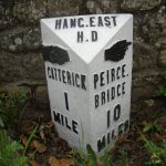
Mile-Post Adjacent To North-East Corner Of Catterick Bridge
Brotherton
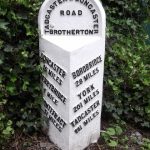
Broughton
- Boundary marker, Broughton
- Boundary marker, Broughton
- Boundary marker, Broughton
- Boundary marker, Broughton
- Boundary marker, Broughton
- Boundary marker, Broughton
- Boundary marker, Broughton
- Boundary marker, Broughton
- Boundary marker, Broughton
- Boundary marker, Broughton
- Boundary marker, Broughton
- Boundary marker, Broughton
- Boundary marker, Broughton
- Boundary marker, Broughton
- Boundary marker, Broughton
- Boundary marker, Broughton
-
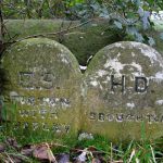 © David RogersCC BY-SA 2.0
Boundary Stone At Abutment Of Inghey Bridge
-
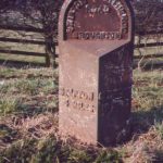 © Milestone SocietyCC BY-SA 2.0
Milestone, Broughton
Bulmer
-
 © Stephen HorncastleCC BY-SA 2.0
Monument to the 7th Earl of Carlisle
of George Howard, 7th Earl of Carlisle
Burn
Burneston
-
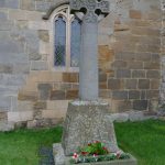 © Diocese of LeedsCC BY-SA 2.0
Burneston War Memorial
names not yet transcribed
Burton Salmon
-
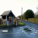 © Alan Murray-RustCC BY-SA 2.0
Burton Salmon War Memorial
names not yet transcribed
-
 © KreuzschnabelCC BY-SA 3.0
Milestone Approximately 0.2 Miles South Of Junction With Betteras Hill Road
-
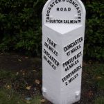 © C MintoCC BY-SA 2.0
Milestone Approximately Fifty Metres South Of Junction With Burton Salmon Lane
Burton in Lonsdale
- Boundary Stone Circa 550 Metres South West Of Westhouse Lodge
-
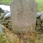 © Milestone SocietyCC BY-SA 2.0
Boundary Stone On Road To Burton-In-Lonsdale
Burton-cum-Walden
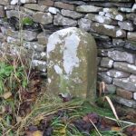
Carleton
- Boundary marker, Carleton
-
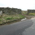 © Christine JohnstoneCC BY-SA 2.0
Boundary marker, Carleton
-
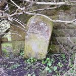 © Kevin WaterhouseCC BY-SA 2.0
Boundary marker, Carleton
-
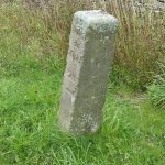 © Dave.DunfordCC BY-SA 4.0
Porridge Stoup
Carlton Highdale
Carlton Miniott
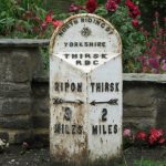
Castley
-
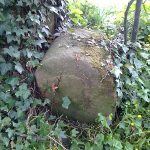 © Milestone SocietyCC BY-SA 2.0
Boundary marker, Castley
- Milepost Approximately 120 Metres East Of Riffa House
Catterick
-
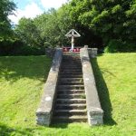 © JThomasCC BY-SA 2.0
Catterick Camp and Aerodrome War Memorial and associated Boundary Walls and Steps
names not yet transcribed
Chapel Haddlesey
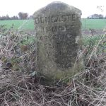
City of York
-
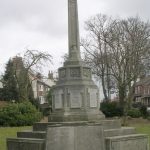 © Betty LongbottomCC BY-SA 2.0
Acomb Green War Memorial
names not yet transcribed
-
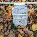 © chris_debianCC BY-SA 4.0
Boundary marker, City of York
-
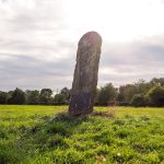 © Malcolmxl5CC BY-SA 4.0
Boundary marker, City of York
-
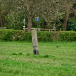 © Malcolmxl5CC BY-SA 4.0
Boundary marker, City of York
-
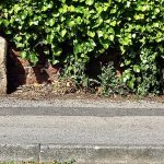 © Malcolmxl5CC BY-SA 4.0
Boundary marker, City of York
-
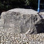 © Malcolmxl5CC BY-SA 4.0
Boundary marker, City of York
-
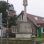 © Betty LongbottomCC BY-SA 2.0
City of York War Memorial
At the Church of St Edward the Confessor · names not yet transcribed
-
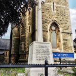 © Malcolmxl5CC BY-SA 4.0
Clifton War Memorial
32 names
-
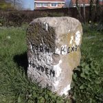 © Milestone SocietyCC BY-SA 2.0
Guidestone, N end of village
Elvington
-
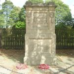 © Betty LongbottomCC BY-SA 2.0
Leeman Road District First World War Memorial
27 names
-
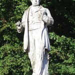 © Chabe01CC BY-SA 4.0
Leeman Statue
of George Leeman
-
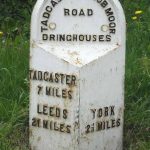 © C MintoCC BY-SA 2.0
Milestone Approximately 10 Metres West Of Number 211 (Number 211 Not Included)
-
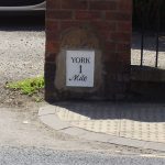 © C MintoCC BY-SA 2.0
Milestone, 134 Lawrence Street
York
-
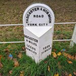
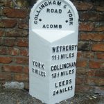 © C MintoCC BY-SA 2.0
Milestone, City of York
-
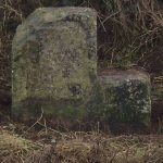
 © chris_debianCC BY-SA 4.0
Milestone, City of York
-
 © J HowatCC BY-SA 2.0
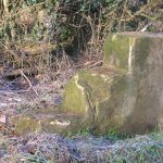
Milestone, Dunnington on narrow verge
Dunnington
-
 © C MintoCC BY-SA 2.0
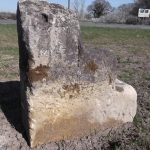
Milestone, opp Villa Farm entrance
Wigginton
-
 © DWCC BY-SA 2.0
Milestone, W of Kexby
Kexby
-
 © C MintoCC BY-SA 2.0
Milestone, Wetherby Road, Rufforth
Rufforth with Knapton
-
 © Stephen CravenCC BY-SA 2.0
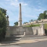
North Eastern Railway Company War Memorial
names not yet transcribed
-
 © Malcolmxl5CC BY-SA 4.0
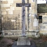
Peasholme Green War Memorial in St Cuthbert’s Churchyard
names not yet transcribed
-
 © EighthofjanuaryCC BY-SA 3.0
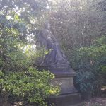
Queen Victoria Statue
of Victoria
-
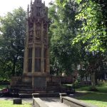 © JhsteelCC BY-SA 3.0
Second Boer War Memorial
names not yet transcribed
-
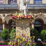 © Malcolmxl5CC BY-SA 4.0
Statue of William Etty
1 name
-
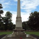 © Rept0n1xCC BY-SA 3.0
York City War Memorial
names not yet transcribed
Clapham cum Newby
-
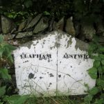 © Milestone SocietyCC BY-SA 2.0
Boundary Stone About 400 Metres North East Of Bowsber Farmhouse Clapham
Clifton Without
Cloughton
- Cloughton War Memorial names not yet transcribed
Commondale
- Boundary marker, Commondale
-
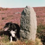 © Milestone SocietyCC BY-SA 2.0
Boundary Stone, Circa 1,020 Metres North Of Skelderskew Farmhouse
-
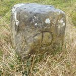 © Mike RaynerCC BY-SA 2.0
Boundary Stone, Circa 1,150 Metres North East Of Skelderskew Farmhouse
-
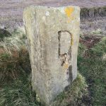 © D GarsideCC BY-SA 2.0
Boundary Stone, Circa 1,300 Metres North East Of Skelderskew Farmhouse
-
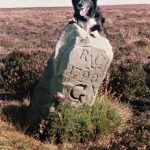 © J BarkerCC BY-SA 2.0
Boundary Stone, Circa 990 Metres North East Of Skelderskew Farmhouse
-
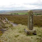 © Mick GarrattCC BY-SA 2.0
Commondale Shepherds’ Memorial
names not yet transcribed
-
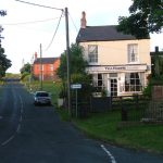 © Mick GarrattCC BY-SA 2.0
Commondale War Memorial
names not yet transcribed
-
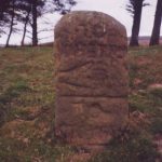 © Milestone SocietyCC BY-SA 2.0
Guide Stone On North Side Of Road From Stokesley
-
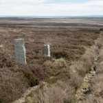 © Mick GarrattCC BY-SA 2.0
Pair Of Boundary Stones, Circa 1,870 Metres South Of Tidkinhow Farmhouse
Cononley
Constable Burton
Copmanthorpe
-
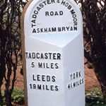 © C MintoCC BY-SA 2.0
Milestone Approximately 80 Metres West Of Askham Fields Lane
-
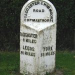 © C MintoCC BY-SA 2.0
Milestone, Copmanthorpe
Coverham with Agglethorpe
Cowesby
Cowling
-
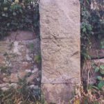 © Christine MintoCC BY-SA 2.0
Milestone At Junction With Lane Ends Lane
-
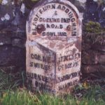 © Christine MintoCC BY-SA 2.0
Milestone, Cowling
-
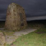 © Ian PatersonCC BY-SA 2.0
Snowden Memorial
names not yet transcribed
Coxwold
-
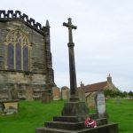 © Miss SteelCC BY-SA 2.0
Coxwold War Memorial Within the Churchyard of Saint Michael’s Church
names not yet transcribed
Crakehall
-
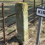 © Mike RaynerCC BY-SA 2.0
Boundary marker, Crakehall
Kirkbridge
-
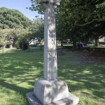 © The joy of all thingsCC BY-SA 4.0
Crakehall War Memorial
12 names
Crathorne
-
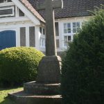 © MainlymazzaCC BY-SA 4.0
Crathorne War Memorial
names not yet transcribed
Craven
-
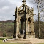 © John SparshattCC BY-SA 2.0
Cavendish memorial fountain
of Lord Frederick Cavendish
-
 © Christine MintoCC BY-SA 2.0
Fingerpost, Craven
Draughton
-
 © Christine MintoCC BY-SA 2.0
Fingerpost, Craven
Draughton
-
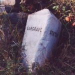 © Milestone SocietyCC BY-SA 2.0
Guidestone, A56 S of TI jct A59
Skipton
-
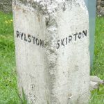 © Milestone SocietyCC BY-SA 2.0
Guidestone, A65 jct, Sour Lane
Stirton with Thorlby
-
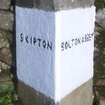 © Milestone SocietyCC BY-SA 2.0
Guidestone, Bolton Bridge opp Devonshire Arms PH
Bolton Abbey
-
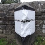 © Milestone SocietyCC BY-SA 2.0
Guidestone, Bolton Bridge, old cut off road eastwards
Bolton Abbey
-
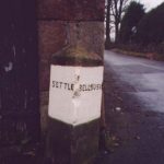 © Christine MintoCC BY-SA 2.0
Guidestone, Coniston Cold
Coniston Cold
-
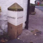 © Milestone SocietyCC BY-SA 2.0
Guidestone, Draughton, Low Lane
Draughton
-
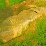 © Milestone SocietyCC BY-SA 2.0
Guidestone, E of Lothersdale
Lothersdale
-
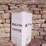 © Christine MintoCC BY-SA 2.0
Guidestone, Eshton Lane
Gargrave
-
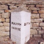 © Christine MintoCC BY-SA 2.0
Guidestone, Eshton Road, jct of road to Flasby
Eshton
-
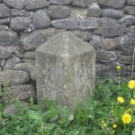 © John S TurnerCC BY-SA 2.0
Guidestone, Gargrave, jct of Church Street and Marton Road
Gargrave
-
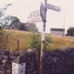 © Christine MintoCC BY-SA 2.0
Guidestone, Hetton Lane
Cracoe
-
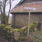 © Christine MintoCC BY-SA 2.0
Guidestone, in Halton East
Halton East
-
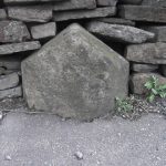 © Christine MintoCC BY-SA 2.0
Guidestone, jct Ings Lane into Low Bradley
-
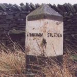 © Milestone SocietyCC BY-SA 2.0
Guidestone, jct with Height Lane
Draughton
-
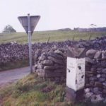 © Christine MintoCC BY-SA 2.0
Guidestone, Kail Lane, by drystone wall
Thorpe
-
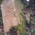 © Milestone SocietyCC BY-SA 2.0
Guidestone, N of A59 West Marton
Martons Both
-
 © Christine MintoCC BY-SA 2.0
Guidestone, Staggered X Rds Farnhill – Cononley
-
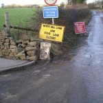 © Milestone SocietyCC BY-SA 2.0
Guidestone, Stirton Lane
Stirton with Thorlby
-
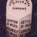 © Christine MintoCC BY-SA 2.0
Milestone, between Gargrave and Hellifield
Gargrave
-
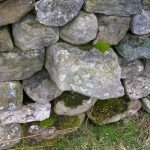 © SGCC BY-SA 2.0
Milestone, Clapham Old Road, E of Ingleton W of Slatenber
Ingleton
-
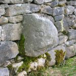 © SGCC BY-SA 2.0
Milestone, Clapham Old Road, nr Bleak Bank
Clapham cum Newby
-
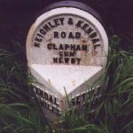 © C MintoCC BY-SA 2.0
Milestone, Craven
Clapham cum Newby
-
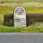 © Mike GreenCC BY-SA 2.0
Milestone, Craven
Clapham cum Newby
-
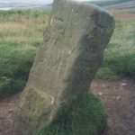 © n/aCC BY-SA 2.0
Milestone, Craven
Nesfield with Langbar
- Milestone, Craven Ilkley
-
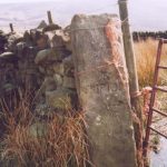 © BDCC BY-SA 2.0
Milestone, Craven
Ilkley
- Milestone, Craven Ilkley
-
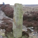 © BDCC BY-SA 2.0
Milestone, Craven
Ilkley
-
 © Milestone SocietyCC BY-SA 2.0
Milestone, E of Cowling
Cowling
-
 © Milestone SocietyCC BY-SA 2.0
Milestone, E of Cowling, Xrds Pole Road/Buckstone Road
Cowling
-
 © Christine MintoCC BY-SA 2.0
Milestone, E of jct opp to Draughton, 100m above Parking sign
Draughton
-
 © PPCC BY-SA 2.0
Milestone, E of Tosside, Milking Gates bridge
-
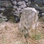 © C MintoCC BY-SA 2.0
Milestone, Fancarl Top, W of steep drop to Diggles Bridge
Appletreewick
-
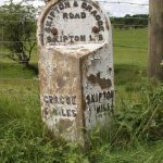 © C MintoCC BY-SA 2.0
Milestone, Grassington Road, 400m N of Skipton by-pass
Skipton
-
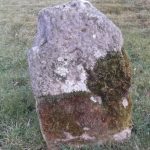 © C MintoCC BY-SA 2.0
Milestone, Hawes at jct of Turfy Hill, below Youth Hostel
Hawes
-
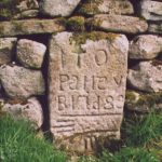 © Milestone SocietyCC BY-SA 2.0
Milestone, Howgill N of Bardon Bridge
Appletreewick
-
 © Milestone SocietyCC BY-SA 2.0
Milestone, in village on Sandybed Lane behind church northwards
Appletreewick
-
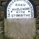 © C MintoCC BY-SA 2.0
Milestone, jct of Storiths Lane, 1 mile E of TI with B6160
Hazlewood
-
 © Christine MintoCC BY-SA 2.0
Milestone, jct UC road, Gledstone Road, to West Marton
Martons Both
-
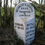 © PMCC BY-SA 2.0
Milestone, just E of eastern lane into Masongill to north
Thornton in Lonsdale
-
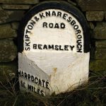 © David RogersCC BY-SA 2.0
Milestone, just E of intersection nr Bolton Bridge, opp road to Beamsley
Bolton Abbey
-
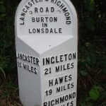 © C MintoCC BY-SA 2.0
Milestone, just N of Burton in Lonsdale sign
Burton in Lonsdale
-
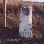 © Milestone SocietyCC BY-SA 2.0
Milestone, just N of West/North Ridings boundary
Hawes
-
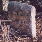 © C MintoCC BY-SA 2.0
Milestone, just S of Gallaber road end
Hellifield
-
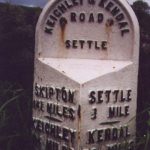 © Milestone SocietyCC BY-SA 2.0
Milestone, just S of Settle
Settle
-
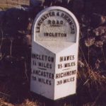 © Milestone SocietyCC BY-SA 2.0
Milestone, just S of White Scar Caves
Ingleton
- Milestone, just W of Gargrave, towards Hellifield Gargrave
-
 © Christine MintoCC BY-SA 2.0
Milestone, Lauradale Lane
Linton
-
 © C MintoCC BY-SA 2.0
Milestone, Middleton Moor W of Windsover Farm
Middleton
-
 © C MintoCC BY-SA 2.0
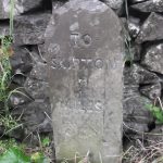
Milestone, N of Catch All Farm, 5m N of metal gate
Linton
-
 © Christine MintoCC BY-SA 2.0
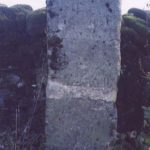
Milestone, N of Cracoe at jct with Thorpe Lane
Cracoe
-
 © Milestone SocietyCC BY-SA 2.0
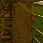
Milestone, NE of Lothersdale
Lothersdale
-
 © David RogersCC BY-SA 2.0
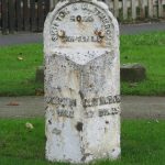
Milestone, nr Broughton Grove, E end of Skipton
Skipton
-
 © Milestone SocietyCC BY-SA 2.0
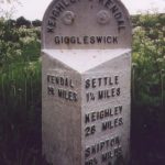
Milestone, on hill W of Settle on old road to by-pass
Giggleswick
-
 © C MintoCC BY-SA 2.0
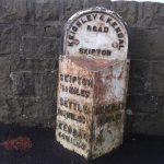
Milestone, on old road into Skipton from by-pass
Skipton
-
 © Christine MintoCC BY-SA 2.0
Milestone, opp. entrance to Long Ashes Leisure Centre
Threshfield
-
 © Milestone SocietyCC BY-SA 2.0
Milestone, outside No. 29 Church Street, Settle
Settle
-
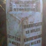 © C MintoCC BY-SA 2.0
Milestone, Pace Gate
Hazlewood
-
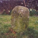 © Milestone SocietyCC BY-SA 2.0
Milestone, Rathmell, Main Street, opp. Church at jct of Hesley Lane
Rathmell
-
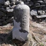 © Milestone SocietyCC BY-SA 2.0
Milestone, S of bridge over Snaizeholme Beck & track to Widdale Side opposite
Hawes
-
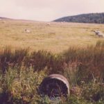 © Milestone SocietyCC BY-SA 2.0
Milestone, S of Scale House, on straight road
Stirton with Thorlby
-
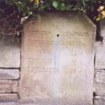 © C MintoCC BY-SA 2.0
Milestone, Settle, Church Street, by No. 28
Settle
- Milestone, Skipton Road, E of Hellifield, jct of UC lane to Otterburn Hellifield
-
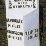 © C MintoCC BY-SA 2.0
Milestone, Summerscales
Hazlewood
-
 © Milestone SocietyCC BY-SA 2.0
Milestone, Tinker Lane, Hebden on pre turnpike route
Grassington
-
 © Milestone SocietyCC BY-SA 2.0
Milestone, UC lane off Lauradale Lane
Linton
-
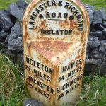 © Milestone SocietyCC BY-SA 2.0
Milestone, under Raven Scar
Ingleton
-
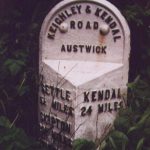 © Christine MintoCC BY-SA 2.0
Milestone, W of all lanes into Austwick
Austwick
-
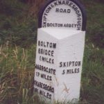 © Christine MintoCC BY-SA 2.0
Milestone, W of Bolton Bridge, opp road to Bolton Abbey Station
Bolton Abbey
-
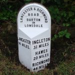 © C MintoCC BY-SA 2.0
Milestone, W of Burton in Lonsdale
Burton in Lonsdale
-
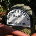 © C MintoCC BY-SA 2.0
Milestone, W of Coniston Cold
Coniston Cold
-
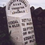 © C MintoCC BY-SA 2.0
Milestone, W of Ingleton, just W of X rds with A687
Thornton in Lonsdale
-
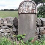 © C MintoCC BY-SA 2.0
Milestone, W of jct where A65 becomes Skipton by-pass
Skipton
-
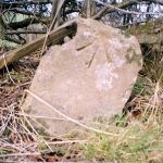 © Milestone SocietyCC BY-SA 2.0
Milestone, W of Low Bentham
Bentham
-
 © Milestone SocietyCC BY-SA 2.0
Milestone, W of Rathmell on Hesley Lane, opp Hesley Cottage
Rathmell
- Milestone, W of traffic island at N end of Skipton by-pass Stirton with Thorlby
Cropton
Danby
-
 © A RileyCC BY-SA 2.0
8 Boundary Stones On Border With Westerdale Counry Parish
- Boundary Stone At Corner Of Boundary With Westerdale County Parish
-
 © Milestone SocietyCC BY-SA 2.0
Boundary Stone On Border With Westerdale County Parish
-
 © D GarsideCC BY-SA 2.0
Boundary Stone On Border With Westerdale County Parish
- Boundary Stone/Guidepost Circa 1000 Metres South West Of Dimmingdale Farmhouse
- Boundary Stones On Border With Westdale County Parish
- Boundary Stones On Border With Westdale County Parish
- Boundary Stones On Border With Westerdale Counry Parish
-
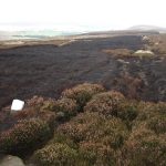 © Lis BurkeCC BY-SA 2.0
Boundary Stones On Border With Westerdale County Parish
- Boundary Stones On Border With Westerdale County Parish
Doncaster
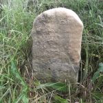
Downholme
-
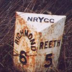 © Milestone SocietyCC BY-SA 2.0
Mile Post Near Low Ingsque Wood Approximately 1 Mile North-East Of Junction With Stainton Road And Approximately 1 Mile South-West Of Junction With A 6108
-
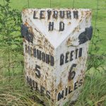 © Milestone SocietyCC BY-SA 2.0
Milepost Approximately 10 Metres North Of Junction With B 6270
- Milepost Near West Wood Approximately 100 Metres South Of The Parish Boundary
Draughton
-
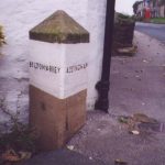 © Milestone SocietyCC BY-SA 2.0
Boundary marker, Draughton
-
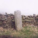 © Christine MintoCC BY-SA 2.0
Fingerpost, Draughton
-
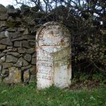 © David RogersCC BY-SA 2.0
Milestone, Draughton
-
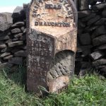 © C MintoCC BY-SA 2.0
Milestone, Draughton
Easby
-
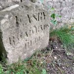 © H JonesCC BY-SA 2.0
Boundary Stone Approximately 1 Metre East Of Scots Dyke
-
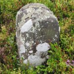 © Milestone SocietyCC BY-SA 2.0
Boundary Stone East Of Path To Captain Cook Monument
-
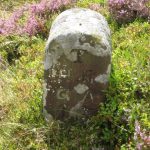 © Milestone SocietyCC BY-SA 2.0
Boundary Stone West Of Path To Captain Cook Monument
-
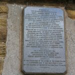 © Bill BoadenCC BY-SA 2.0
Captain Cook Monument
names not yet transcribed
-
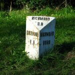 © David RogersCC BY-SA 2.0
Milepost On Parish Boundary At Scots Dike
Easingwold
-
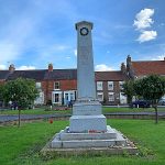 © AlixChaytorCC BY-SA 4.0
Easingwold War Memorial
15 names
-
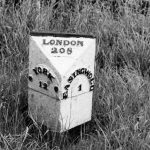 © Milestone SocietyCC BY-SA 2.0
Milestone Between Crankley Lane And Woodbine Farm
-
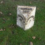 © Alan Murray-RustCC BY-SA 2.0
Milestone Outside Number 104
- Milestone, Easingwold
-
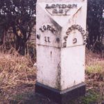 © Milestone SocietyCC BY-SA 2.0
Milestone, Easingwold
- Milestone, Easingwold
East Cowton
-
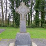 © Maigheach-ghealCC BY-SA 2.0
East Cowton War Memorial
names not yet transcribed
East Witton
Egton
-
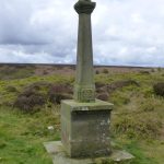 © Russel WillsCC BY-SA 2.0
Memorial cross for Probationary Flight Officer Francis Titcomb (the Swinsty Cross)
names not yet transcribed
- Milepost 200 Metres South-West Of Travellers’ Rest Farm
-
 © Keith EvansCC BY-SA 2.0
Waymarker
- Waymarker
-
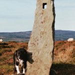 © Milestone SocietyCC BY-SA 2.0
Waymarker
-
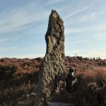 © Milestone SocietyCC BY-SA 2.0
Waymarker
-
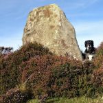 © Milestone SocietyCC BY-SA 2.0
Waymarker
-
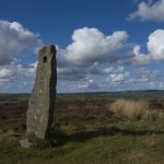 © Tom RichardsonCC BY-SA 2.0
Waymarker
-
 © Ian SCC BY-SA 2.0
Waymarker
Ellerton Abbey
Ellerton-on-Swale
Elslack
-
 © D PhillipsCC BY-SA 2.0
Boundary marker, Elslack
- Boundary marker, Elslack
- Boundary marker, Elslack
-
 © Dave.DunfordCC BY-SA 4.0
Boundary marker, Elslack
Embsay with Eastby
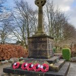
Eskdaleside cum Ugglebarnby
- Boundary Stone At Red Gate Between Parishes Of Eskdaleside Cum Ugglebarnby And Sneaton
-
 © D GarsideCC BY-SA 2.0
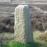
Breckon Howe Boundary Stone Between Parishes Od Eskdaleside Cum Ugglebarnsby And Goathland
- Line Of Boundary Stones Between Civil Parishes Of Sneaton And Eskdaleside Cum Ugglebarnby
-
 © Keith EvansCC BY-SA 2.0
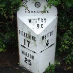
Milepost Approximately 10 Metres West Of Number 137
Fairburn
- Fairburn War Memorial names not yet transcribed
Farndale East
- Boundary marker, Farndale East
- Boundary marker, Farndale East
- Boundary Stone On Blakey Howe
-
 © colin griceCC BY-SA 2.0
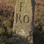
Fingerpost, Farndale East
-
 © Milestone SocietyCC BY-SA 2.0
Fingerpost, Farndale East
Farnhill
-
 © Roy W LambertCC BY-SA 2.0
Farnhill Jubilee Tower
names not yet transcribed
-
 © C MintoCC BY-SA 2.0
Milestone At Junction Of Main Street And Grange Road
Felliscliffe
- Felliscliffe War Memorial names not yet transcribed
-
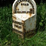 © C MintoCC BY-SA 2.0
Milestone, Felliscliffe
-
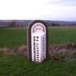 © David RogersCC BY-SA 2.0
Milestone, Felliscliffe
Fewston
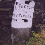
Filey
-
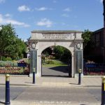 © see belowCC BY-SA 2.0
Filey War Memorial Archway
names not yet transcribed
Firby
Flaxby
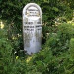
Follifoot
Forcett and Carkin
Fountains Earth
-
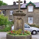 © Joe ReganCC BY-SA 2.0
The Victory Memorial
names not yet transcribed
Fylingdales
- Mile Post 520 Metres West Of Low Flask Farm
- Mile Post Circa 320 Metres North East Of Wragby
- Mile Post South Of Entrance To St Ives Farm
- Mile Post South Of Junction Of High Normanby Road
- War Memorial to South of Church of St Stephen names not yet transcribed
Giggleswick
-
 © Humphrey BoltonCC BY-SA 2.0
Boundary marker, Giggleswick
-
 © Roger TemplemanCC BY-SA 2.0
Boundary Stone About 100 Metres South East Of Lane End House
-
 © Karl and AliCC BY-SA 2.0
Boundary Stone About 150 Metres South East Of Blaithwaite Farmhouse
Gilling East
-
 © Pauline ECC BY-SA 2.0
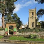
Gilling East War Memorial Gate
13 names
-
 © Christine MintoCC BY-SA 2.0
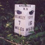
Milepost Approximately 300 Metres South West Of Coney Hill Farm
-
 © J HowatCC BY-SA 2.0
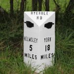
Milepost Approximately 320 Metres South Of Church Of Holy Cross
Gilling with Hartforth and Sedbury
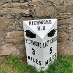
Glaisdale
- Boundary Stone To North Of Oakley Walls Farmhouse
- Danby Beacon
-
 © Milestone SocietyCC BY-SA 2.0
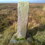
Fingerpost, Glaisdale
-
 © Tom RichardsonCC BY-SA 2.0
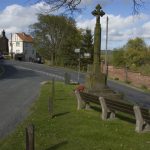
Glaisdale War Memorial
names not yet transcribed
-
 © colin griceCC BY-SA 2.0
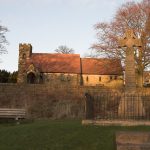
Lealholm War Memorial
names not yet transcribed
Glusburn and Cross Hills
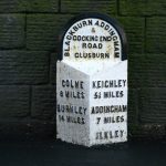
Goathland
-
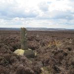 © Martin DawesCC BY-SA 2.0
Ann’s Cross
- Boundary marker, Goathland
-
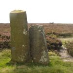 © Peter WorrellCC BY-SA 2.0
Boundary marker, Goathland
-
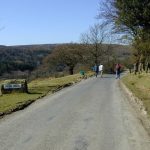 © Chris GunnsCC BY-SA 2.0
Goathland village sign
-
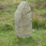 © Mike RaynerCC BY-SA 2.0
Stones
-
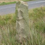 © Mike RaynerCC BY-SA 2.0
Stones
-
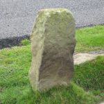 © Mike RaynerCC BY-SA 2.0
Waymarker
-
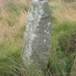 © Mike RaynerCC BY-SA 2.0
Waymarker
-
 © Mike RaynerCC BY-SA 2.0
Waymarker
- Waymarker
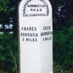
Goldsborough
Grassington
Great Ayton
- Boundary marker, Great Ayton
-
 © Mike RaynerCC BY-SA 2.0
Boundary marker, Great Ayton
- Captain Cook Memorial names not yet transcribed
Great Langton
-
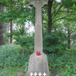 © Nick WCC BY-SA 2.0
Great Langton War Memorial
names not yet transcribed
Great Ouseburn
- Boundary marker, Great Ouseburn
-
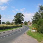 © DS PughCC BY-SA 2.0
Great Ouseburn village sign
-
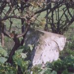 © Milestone SocietyCC BY-SA 2.0
Milestone, Great Ouseburn
Great Smeaton
-
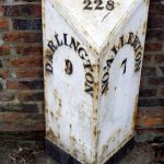 © Maigheach-ghealCC BY-SA 2.0
Milepost Approximately 30 Metres To South East Of Church Of St Eloy
-
 © Christine MintoCC BY-SA 2.0
Milepost Approximately 30 Metres To South East Of High Enter Common Farm
Grinton
Guisborough
-
 © Mike RaynerCC BY-SA 2.0
Boundary marker, Guisborough
- Boundary marker, Guisborough
-
 © Mike RaynerCC BY-SA 2.0
Boundary marker, Guisborough
-
 © Mike RaynerCC BY-SA 2.0
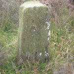
Boundary marker, Guisborough
- Boundary marker, Guisborough
-
 © Mike RaynerCC BY-SA 2.0
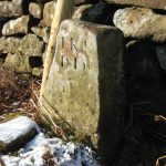
Boundary marker, Guisborough
-
 © Milestone SocietyCC BY-SA 2.0
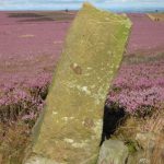
Boundary marker, Guisborough
-
 © Mike RaynerCC BY-SA 2.0
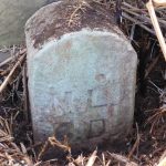
Boundary marker, Guisborough
-
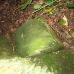 © Mike RaynerCC BY-SA 2.0
Boundary marker, Guisborough
- Boundary marker, Guisborough
- Boundary marker, Guisborough
-
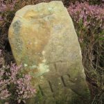 © Mike RaynerCC BY-SA 2.0
Boundary marker, Guisborough
-
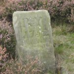 © Mike RaynerCC BY-SA 2.0
Boundary marker, Guisborough
- Boundary marker, Guisborough
- Boundary marker, Guisborough
-
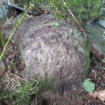 © Mike RaynerCC BY-SA 2.0
Boundary marker, Guisborough
- Boundary marker, Guisborough
-
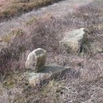 © Mike RaynerCC BY-SA 2.0
Boundary marker, Guisborough
- Boundary marker, Guisborough
-
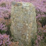 © Mike RaynerCC BY-SA 2.0
Boundary marker, Guisborough
-
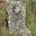 © Mike RaynerCC BY-SA 2.0
Boundary marker, Guisborough
-
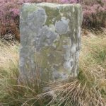 © Mike RaynerCC BY-SA 2.0
Boundary marker, Guisborough
-
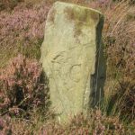 © Mike RaynerCC BY-SA 2.0
Boundary marker, Guisborough
-
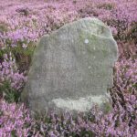 © Mike RaynerCC BY-SA 2.0
Boundary marker, Guisborough
-
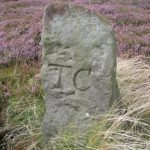 © Mike RaynerCC BY-SA 2.0
Boundary marker, Guisborough
-
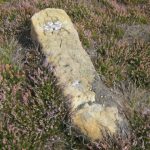 © Mike RaynerCC BY-SA 2.0
Boundary marker, Guisborough
-
 © Mike RaynerCC BY-SA 2.0
Boundary marker, Guisborough
- Boundary Stone Approximately 250 Metres To South West Of Court Green Farmhouse
-
 © Milestone SocietyCC BY-SA 2.0
Fingerpost, Guisborough
-
 © Bill BoadenCC BY-SA 2.0
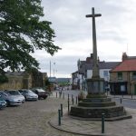
Guisborough War Memorial
names not yet transcribed
- Marker Stone, Approximately 190 Metres North East Of Carling Howe Farmhouse
-
 © Mick GarrattCC BY-SA 2.0
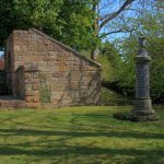
Upleatham War Memorial
names not yet transcribed
Halton Gill
-
 © John S TurnerCC BY-SA 2.0
Boundary Stone Approximately 10 Metres Northwest Of Churn Milk Hole
-
 © John S TurnerCC BY-SA 2.0
Boundary Stone West Of Churn Milk Hole
Hambleton
-
 © Milestone SocietyCC BY-SA 2.0
Fingerpost, Hambleton
Glaisdale
-
 © Milestone SocietyCC BY-SA 2.0
Guidestone, Bilsdale, near Low Mill
Bilsdale Midcable
-
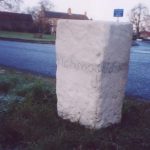 © Milestone SocietyCC BY-SA 2.0
Guidestone, Great Crakehall, on village green, at minor X rds, S end of village
Crakehall
-
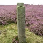 © Milestone SocietyCC BY-SA 2.0
Guidestone, Handstone, Ingleby Moor, Greenhow Bank
Ingleby Greenhow
-
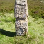 © Milestone SocietyCC BY-SA 2.0
Guidestone, The Hand Stone, Round Hill, Urra Moor
- Milestone Approximately 200M West Of Bar Lane
-
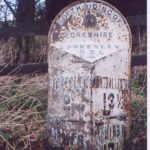 © Christine MintoCC BY-SA 2.0
Milestone, 200m S of entrance to Busby House Farm
Stokesley
-
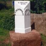 © Milestone SocietyCC BY-SA 2.0
Milestone, 420m SE jct Bagby Lane
Thirsk
- Milestone, Breckenborough, nr entrance to farm Newsham with Breckenbrough
-
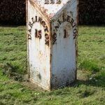 © C MintoCC BY-SA 2.0
Milestone, entrance to Mile House Business Park
Northallerton
-
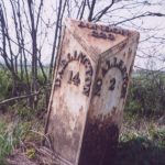 © Christine MintoCC BY-SA 2.0
Milestone, in open country, tree on each side of road
Northallerton
-
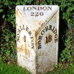 © Maigheach-ghealCC BY-SA 2.0
Milestone, just N of Traffic Island at A684 jct
Northallerton
-
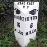 © Milestone SocietyCC BY-SA 2.0
Milestone, Leeming Lane, Leeming Bar
Bedale
-
 © C MintoCC BY-SA 2.0
Milestone, Londonderry at S end of cut off old A1
Bedale
-
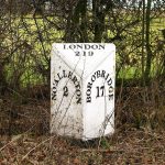 © David RogersCC BY-SA 2.0
Milestone, Mulberry Cottage, nr Otterington House
North Otterington
-
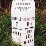 © C MintoCC BY-SA 2.0
Milestone, N end of old section of A172
Ingleby Arncliffe
-
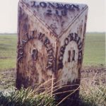 © Milestone SocietyCC BY-SA 2.0
Milestone, N end of village
Sandhutton
-
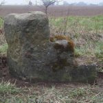 © C MintoCC BY-SA 2.0
Milestone, N of Sutton on the Forest
Sutton-on-the-Forest
-
 © C MintoCC BY-SA 2.0
Milestone, Northallerton Road, Leeming Bar
Leeming
-
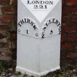 © C MintoCC BY-SA 2.0
Milestone, Northallerton Road, outside Spa House
Thirsk
-
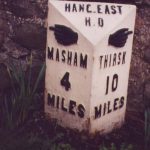 © Christine MintoCC BY-SA 2.0
Milestone, Nosterfield, opp. Freemason’s Arms PH
Thornborough
- Milestone, S end of village, N of minor X rds Crathorne
-
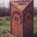 © Christine MintoCC BY-SA 2.0
Milestone, S of jct with minor road to Danby Wiske & Catterick
Northallerton
-
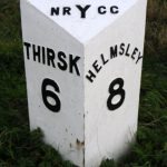 © Maigheach-ghealCC BY-SA 2.0
Milestone, top of Sutton Bank
Sutton-under-Whitestonecliffe
Hampsthwaite
- Boundary Stone 100 Metres South West Of The Ian Tetley Memorial School
-
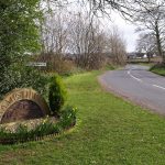 © Derek HarperCC BY-SA 2.0
Hampsthwaite village sign
-
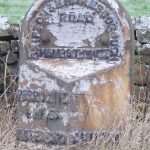 © C MintoCC BY-SA 2.0
Milestone, Hampsthwaite
- Milestone, Hampsthwaite
Harrogate
-
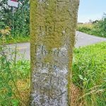 © Milestone SocietyCC BY-SA 2.0
Guidestone, Back Road, High Birstwith
Birstwith
-
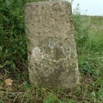 © Milestone SocietyCC BY-SA 2.0
Guidestone, E of Kirby Hill
Kirby Hill
-
 © Milestone SocietyCC BY-SA 2.0
Guidestone, Harper Hill
Skelding
- Guidestone, Lofthouse Moor, jct tracks from XLOMb & XLOMc Fountains Earth
- Guidestone, Masham Moor Masham
-
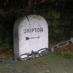 © Milestone SocietyCC BY-SA 2.0
Guidestone, Meg Gate, Birstwith
Birstwith
-
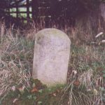 © Milestone SocietyCC BY-SA 2.0
Guidestone, Musterfield
Kirkby Malzeard
-
 © Milestone SocietyCC BY-SA 2.0
Guidestone, NE of Lofthouse
Fountains Earth
- Guidestone, Ramsgill Fountains Earth
-
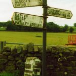 © Milestone SocietyCC BY-SA 2.0
Guidestone, Thornthwaite Bridge
Thornthwaite with Padside
-
 © Milestone SocietyCC BY-SA 2.0
Guidestone, W of B6451, Menwith Hill Road
Thornthwaite with Padside
-
 © Milestone SocietyCC BY-SA 2.0
Guidestone, W of Reservoir, jct North Moor Road, Whitmoor Road, West End Road
Thruscross
-
 © Richard NorthCC BY 2.0
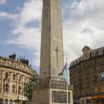
Harrogate War Memorial
1,164 names
-
 © Storye bookCC BY-SA 4.0
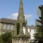
Jubilee Memorial
1 name
-
 © Hilary JonesCC BY-SA 2.0
Mile Post Approximately 50 Metres North Of The Black A Moor Public House
Sawley
-
 © Milestone SocietyCC BY-SA 2.0
Milestone, Just E of Greenhow
Bewerley
-
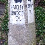 © C MintoCC BY-SA 2.0
Milestone, N end of Ripley
Ripley
-
 © C MintoCC BY-SA 2.0
Milestone, 0.9 mile E of Greenhow
Bewerley
-
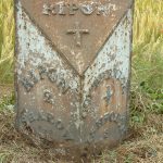 © J HowatCC BY-SA 2.0
Milestone, 100m E of lane to Copt Hewick
Copt Hewick
-
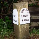 © J HowatCC BY-SA 2.0
Milestone, 25m N of lane to Tancred Farms
Whixley
-
 © J HowatCC BY-SA 2.0
Milestone, 600m E of Copt Hewick jct
Bridge Hewick
- Milestone, a mile West of Kirby Hill Boroughbridge
-
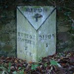 © David RogersCC BY-SA 2.0
Milestone, A61 jct with Hutton Lane
Sharow
- Milestone, About 1½ NW of Lofthouse Fountains Earth
-
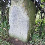 © J HowattCC BY-SA 2.0
Milestone, Allerton Mauleverer
Allerton Mauleverer with Hopperton
-
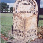 © Milestone SocietyCC BY-SA 2.0
Milestone, at intersection where A59 meets A661 and A6040
Harrogate
-
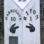 © C MintoCC BY-SA 2.0
Milestone, at traffic island S of Ripon
Ripon
-
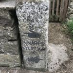 © Claire RipleyCC BY-SA 2.0
Milestone, Bedlam, just W of Law Lane
Ripley
-
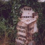 © Christine MintoCC BY-SA 2.0
Milestone, between Bickerton & Walton
Bilton-in-Ainsty with Bickerton
-
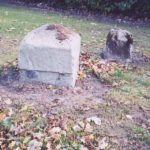 © C MintoCC BY-SA 2.0
Milestone, carved stone post, Forest Lane Head, opp. Bilton Hall Drive
Harrogate
-
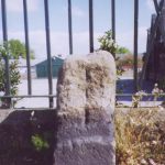 © Christine MintoCC BY-SA 2.0
Milestone, carved stone post, Skipton Road, Bilton, in front of Bilton Grange school
Harrogate
-
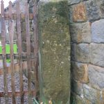 © Milestone SocietyCC BY-SA 2.0
Milestone, Church Lane, Weston
Weston
-
 © C MintoCC BY-SA 2.0
Milestone, Common Holme Lane/Brant Bank Lane
Nesfield with Langbar
-
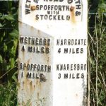 © C MintoCC BY-SA 2.0
Milestone, Harrogate Road, opp. Crosper Farm
Spofforth with Stockeld
-
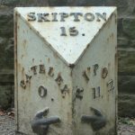 © Christine MintoCC BY-SA 2.0
Milestone, High Street/Ripley Bank, Pateley Bridge
High and Low Bishopside
-
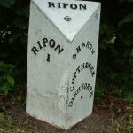 © C MintoCC BY-SA 2.0
Milestone, in Sharow
Sharow
-
 © Christine MintoCC BY-SA 2.0
Milestone, Leathley Lane, Stainburn Bank
Stainburn
-
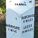 © C MintoCC BY-SA 2.0
Milestone, Leeds Road, nr Firs Avenue
Harrogate
-
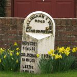 © David RogersCC BY-SA 2.0
Milestone, Long Marston village, E of X rds
Long Marston
- Milestone, Low Laithe Hartwith cum Winsley
-
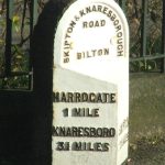 © Peter WilsonCC BY-SA 2.0
Milestone, metal plate attached to stone post, Skipton Road, Bilton, in front of Bilton Grange school
Harrogate
-
 © Christine MintoCC BY-SA 2.0
Milestone, N of Wetherby at exit onto A1 by-pass. 2009 by-pass by-passed by new motoway
Wetherby
-
 © Mark AndersonCC BY-SA 2.0
Milestone, NE of Otley. Pill White Lane
Lindley
-
 © Milestone SocietyCC BY-SA 2.0
Milestone, on cut off road 300m S of A658
Follifoot
-
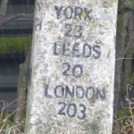 © C MintoCC BY-SA 2.0
Milestone, opp Scarah Farm buildings
Ripley
-
 © C MintoCC BY-SA 2.0
Milestone, Otley Road 200m E of Howhill Lane nrly opp gates to newly built property(2011)
Pannal
-
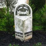 © David RogersCC BY-SA 2.0
Milestone, Otley Road, Harlow Hill, Harrogate
Pannal
-
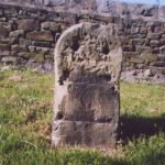 © Christine MintoCC BY-SA 2.0
Milestone, Otley Road, Harlow Hill, Harrogate opp No. 125
Pannal
-
 © C MintoCC BY-SA 2.0
Milestone, Pot Bank just N of entrance to Cardale Estate opp
Pannal
-
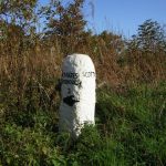 © manonabikeCC BY-SA 2.0
Milestone, Ripley Road, Scotton
Scotton
-
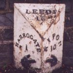 © Christine MintoCC BY-SA 2.0
Milestone, Ripon Road, in front of Motorworld and Magnet
Harrogate
-
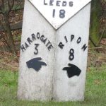 © Milestone SocietyCC BY-SA 2.0
Milestone, Ripon Road, nr R Nidd bridge
Killinghall
-
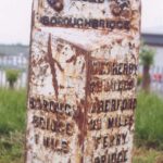 © Christine MintoCC BY-SA 2.0
Milestone, S of Boroughbridge on old A1
Boroughbridge
-
 © Milestone SocietyCC BY-SA 2.0
Milestone, south of Carr Side Lane to Great Ouseburn
Marton
-
 © Christine MintoCC BY-SA 2.0
Milestone, Spellow Hill
Arkendale
- Milestone, stone post, Forest Lane Head, opp. Bilton Hall Drive Harrogate
- Milestone, Summerbridge, nr Flying Dutchman PH; at jct with Hartwith Bank Hartwith cum Winsley
-
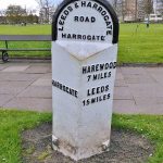 © Milestone SocietyCC BY-SA 2.0
Milestone, The Stray, opp. “Muckles”
Harrogate
-
 © Milestone SocietyCC BY-SA 2.0
Milestone, W of Reservoir, jct North Moor Road, Whitmoor Road, West End Road
Thruscross
-
 © Milestone SocietyCC BY-SA 2.0
Milestone, W of Stripe Lane
Hartwith cum Winsley
-
 © Ray WoodcraftCC BY-SA 2.0
Milestone, Wescoe Hill
Weeton
-
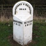 © Gordon HattonCC BY-SA 2.0
Milestone, Wetherby Road, just N of TI on A658
Knaresborough
-
 © Christine MintoCC BY-SA 2.0
Milestone, Wilsill, The Raikes
Hartwith cum Winsley
-
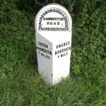 © C MintoCC BY-SA 2.0
Milestone, York Road, almost opp. Manse Lane,
Knaresborough
-
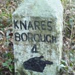 © C MintoCC BY-SA 2.0
Milestone, ¼ mile E of jct A61
Ripley
-
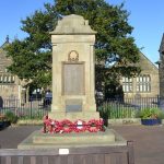 © Betty LongbottomCC BY-SA 2.0
Starbeck War Memorial
names not yet transcribed
- Stone Pillar (Near South East Corner Of West Park)
Hartlington
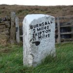
Harton
-
 © Christine MintoCC BY-SA 2.0
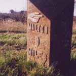
Milepost Approximately 300 Yards East Of Field House, Flaxton
-
 © C MintoCC BY-SA 2.0
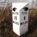
Milepost Approximately 440M North Of Lobster House, Claxton
Hawes
-
 © Chris MintoCC BY-SA 2.0
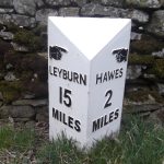
Burtersett Milestone Approximately 400 Metres East Of Junction With Mire Bark Lane
Healey
-
 © david johnstonCC BY-SA 2.0
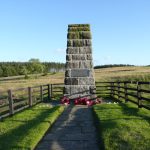
Memorial to the 15Th Battalion West Yorkshire Regiment (The Leeds Pals)
names not yet transcribed
Hellifield
-
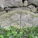 © Milestone SocietyCC BY-SA 2.0
Boundary marker, Hellifield
-
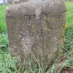 © John S TurnerCC BY-SA 2.0
Milestone At Turn For Goosemere Height
Swinden
- Milestone, Hellifield
-
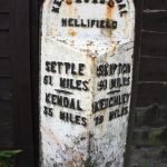 © Roger TemplemanCC BY-SA 2.0
Milestone, Hellifield
- Milestone, Hellifield
-
 © C MintoCC BY-SA 2.0
Milestone, Hellifield
Swinden
Helmsley
-
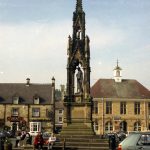 © Dr Neil CliftonCC BY-SA 2.0
Memorial to Second Baron Feversham
names not yet transcribed
Henderskelfe
Heslerton
Hessay
Heworth Without
High Abbotside
-
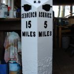 © C MintoCC BY-SA 2.0
Milestone Approximately 300 Metres West Of Hardrow Beck
-
 © Roger TemplemanCC BY-SA 2.0
Milestone Approximately 40 Metres West Of Bird Gill
-
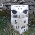 © Chris MintoCC BY-SA 2.0
Milestone approximately 5 metres east of turning to Sedbusk
High Abbotside
- Milestone, Sedbusk
High and Low Bishopside
-
 © Maigheach-ghealCC BY-SA 2.0
Mile Post Approximately 20 Metres To North Of Cliff Top House
-
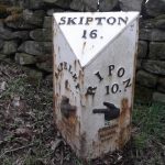 © BBSCC BY-SA 2.0
Mile Post Approximately 50 Metres To The South Of Blazefield
Hillam
Hinderwell
- Hinderwell, Port Mulgrave and Runswick War Memorial Clock Tower names not yet transcribed
-
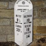 © Keith EvansCC BY-SA 2.0
Mile Post To South Of Port Mulgrave Road
Hirst Courtney
Horton
Horton in Ribblesdale
- Boundary marker, Horton in Ribblesdale
-
 © Brian C PayneCC BY-SA 2.0
Boundary marker, Horton in Ribblesdale
-
 © Humphrey BoltonCC BY-SA 2.0
Boundary marker, Horton in Ribblesdale
Hovingham
-
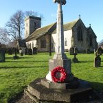 © Gordon HattonCC BY-SA 2.0
Hovingham War Memorial
names not yet transcribed
Hunmanby
Huntington
Hutton Bonville
Hutton-le-Hole
Huttons Ambo
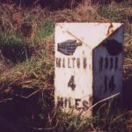
Ingleby Greenhow
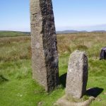
Ingleton
-
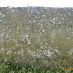 © Milestone SocietyCC BY-SA 2.0
Boundary Stone Circa 200 Metres South East Of Cod Bank Barn
- Boundary Stone Circa 600 Metres North West Of Newby Moor Bridge
-
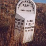 © Christine MintoCC BY-SA 2.0
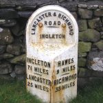
Milestone, Ingleton
-
 © John IllingworthCC BY-SA 2.0
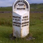
Milestone, Ingleton
-
 © habiloidCC BY-SA 2.0
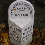
Milestone, Ingleton
-
 © steven rufflesCC BY-SA 2.0
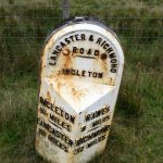
Milestone, Ingleton
-
 © Maigheach-ghealCC BY-SA 2.0
Milestone, Ingleton
-
 © C MintoCC BY-SA 2.0
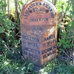
Milestone, Ingleton
Keighley
Kellington
Kepwick
- Howe Hill Monument names not yet transcribed
Kilburn High and Low
-
 © LirazelfCC BY-SA 3.0
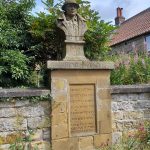
War Memorial Set in Wall
Approximately 7 metres to South of Churchyard South Gateway · 9 names
Kildwick
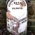
Killinghall
- Boundary Stone 100 Metres North West Of The Ian Tetley Memorial School
-
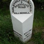 © C MintoCC BY-SA 2.0
Milestone, Killinghall
-
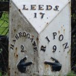 © C MintoCC BY-SA 2.0
Milestone, Killinghall
-
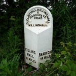 © C MintoCC BY-SA 2.0
Milestone, Killinghall
-
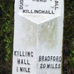 © C MintoCC BY-SA 2.0
Milestone, Killinghall
- Milestone, Killinghall
Kirby Hill
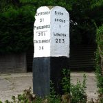
Kirk Deighton
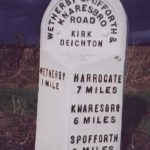
Kirk Hammerton
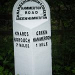
Kirk Smeaton
-
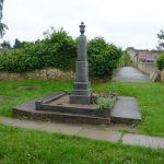 © Alexander P KappCC BY-SA 2.0
Kirk and Little Smeaton War Memorial
names not yet transcribed
Kirkby Malham
Kirkby Overblow
-
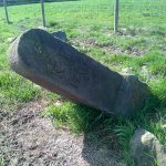 © D GarsideCC BY-SA 2.0
Boundary marker, Kirkby Overblow
-
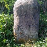 © D GarsideCC BY-SA 2.0
Boundary Stone Approximately 200 Metres East Of Low Snape Farmhouse
-
 © D GarsideCC BY-SA 2.0
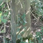
Boundary Stone At Wareholes Well, Approximately 30 Metres From Road Side
-
 © M HattonCC BY-SA 2.0
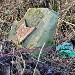
Boundary Stone Next To Lane End Farm
-
 © D GarsideCC BY-SA 2.0
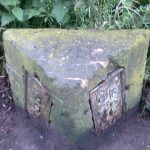
Boundary Stone, Kirkby Overblow And Rigton Parishes
-
 © C MintoCC BY-SA 2.0
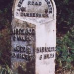
Milestone Approximately 100 Metres North Of Entrance To Moor End Farm
Langcliffe
- Fountain Basin War Memorial names not yet transcribed
Lawkland
-
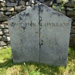 © Philip PlattCC BY-SA 2.0
Boundary marker, Lawkland
- Boundary Stone 200 Metres West Of Sunny Bank Barn
-
 © Milestone SocietyCC BY-SA 2.0
Boundary Stone 300 Metres North West Of Little Sunny Bank Barn
-
 © Milestone SocietyCC BY-SA 2.0
Boundary Stone 300 Metres North-West Of Sunny Bank Barn
-
 © A WaldronCC BY-SA 2.0
Boundary Stone Circa 150 Metres South East Of Blaithwaite Farmhouse
Leathley
-
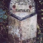 © Christine MintoCC BY-SA 2.0
Milepost Approximately 350 Metres West Of Junction With Harrogate Road
- Milepost Opposite Entrance To Riffa Farm
-
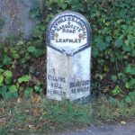 © John IllingworthCC BY-SA 2.0
Milestone, Leathley
Leyburn
-
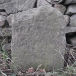 © Chris MintoCC BY-SA 2.0
Boundary marker, Leyburn
-
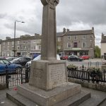 © The joy of all thingsCC BY-SA 4.0
Leyburn War Memorial
names not yet transcribed
- Milestone, down hill towards Wensley
Lindley
Lindrick with Studley Royal and Fountains
-
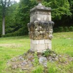 © Michael DibbCC BY-SA 2.0
Quebec Monument
names not yet transcribed
Linton
-
 © Dave.DunfordCC BY-SA 4.0
Fingerpost, Linton
-
 © Dave.DunfordCC BY-SA 4.0
Fingerpost, Linton
-
 © Dave.DunfordCC BY-SA 4.0
Fingerpost, Linton
-
 © Dave.DunfordCC BY-SA 4.0
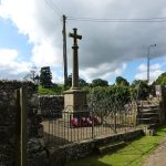
Linton-in-Craven War Memorial
names not yet transcribed
-
 © flipflopnickCC BY-SA 3.0
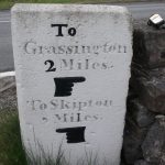
Milestone At Catch All Farm
Little Ouseburn
Little Smeaton
Lockwood
-
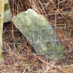 © Mike RaynerCC BY-SA 2.0
Boundary marker, Lockwood
-
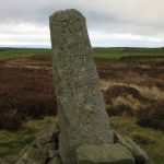 © Mike RaynerCC BY-SA 2.0
Boundary marker, Lockwood
- Boundary marker, Lockwood
- Boundary Stone, 415 Metres South East Of Claphow Farmhouse
- Boundary Stone, 460 Metres South East Of Claphow Farmhouse
- Boundary Stone, 500 Metres South East Of Claphow Farmhouse
- Boundary Stone, Circa 1,030 Metres North East Of Skelderskew Farmhouse
- Boundary Stone, Circa 1,230 Metres South Of Tidkinhow Farmhouse
-
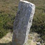 © Milestone SocietyCC BY-SA 2.0
Boundary Stone, Circa 1,400 Metres South Of Tidkinhow Farmhouse
-
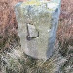 © D GarsideCC BY-SA 2.0
Boundary Stone, Circa 1450 Metres East Of Skelderskew Farmhouse
-
 © Mike RaynerCC BY-SA 2.0
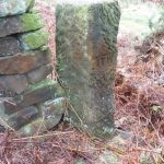
Boundary Stone, Circa 350 Metres South East Of Aysdalegate Farmhouse
-
 © Mike RaynerCC BY-SA 2.0
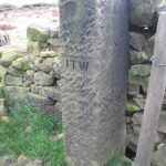
Boundary Stone, Circa 475 Metres East Of Aysdalegate Farmhouse
-
 © Mike RaynerCC BY-SA 2.0
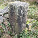
Boundary Stone, Circa 600 Metres South East Of Aysdalegate Farmhouse
- Boundary Stone, Circa 870 Metres South Of Tidkinhow Farmhouse
-
 © Milestone SocietyCC BY-SA 2.0
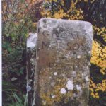
Guidepost Attached To Oven Close Bridge
- Pair Of Boundary Stones, At Tidkinhow Farmhouse At Ngr646 133
-
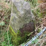 © Mike RaynerCC BY-SA 2.0
Ticksey How Boundary Stone 450 Metres South East Of Lockwood Beck Farmhouse
Loftus
-
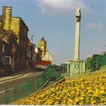 © Colin SmithCC BY-SA 2.0
Drinking Fountain, Trough, War Memorial, Steps and Railings, South-East of No. 39
names not yet transcribed
Long Marston
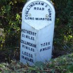
Long Preston
-
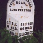 © Christine MintoCC BY-SA 2.0
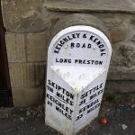
Milestone, Long Preston
-
 © Maigheach-ghealCC BY-SA 2.0
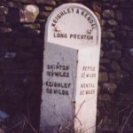
Milestone, Long Preston
-
 © Milestone SocietyCC BY-SA 2.0
Milestone, Long Preston
Lothersdale
-
 © GpwitteveenCC BY-SA 3.0
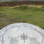
Corona-virus 2020-21 pandemic memorial
names not yet transcribed
Low Abbotside
-
 © Chris MintoCC BY-SA 2.0
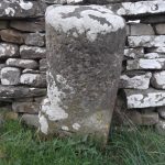
Milestone Approximately 400 Metres West Of Junction With Bainbridge Road
-
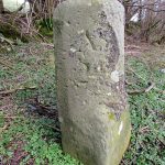 © Matthew HattonCC BY-SA 2.0
Milestone Facing Junction With Cams Road
Lythe
-
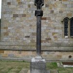 © Mike KirbyCC BY-SA 2.0
Lythe War Memorial
names not yet transcribed
Malham
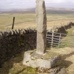
Malton
-
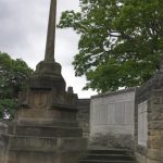 © colin griceCC BY-SA 2.0
Malton War Memorial and Screening Wall
names not yet transcribed
-
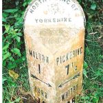 © C MintoCC BY-SA 2.0
Milestone, Malton
-
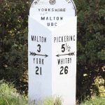 © J HowatCC BY-SA 2.0
Milestone, Malton
-
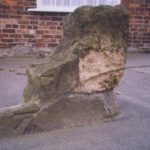 © Milestone SocietyCC BY-SA 2.0
Mounting Block Approximately 3.5 Metres North West Of Number 4A
Marske
- Hutton’s Monument names not yet transcribed
Marton-cum-Moxby
Martons Both
-
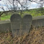 © D PhillipsCC BY-SA 2.0
Boundary Stone At Crickle Bridge (That Part In Martons Both Civil Parish)
-
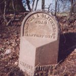 © Christine MintoCC BY-SA 2.0
Milestone 100 Metres East Of School House Farmhouse
-
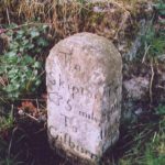 © Milestone SocietyCC BY-SA 2.0
Milestone At Junction With A59
-
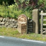 © Dave.DunfordCC BY-SA 4.0
Milestone opposite Crickle Farmhouse
Melmerby
Middlesbrough
- Memorial Clock, in Albert Park names not yet transcribed
-
 © Simon CobbCC0 1.0 (Public Domain Dedication)
Monument to H.W.F.Bolckow
1 name
-
 © Chris DownerCC BY-SA 2.0
Monument to John Vaughan
names not yet transcribed
-
 © Mick GarrattCC BY-SA 2.0
Monument to Sir Samuel Sadler
names not yet transcribed
-
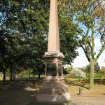 © John YeadonCC BY-SA 3.0
South African War Memorial, in Albert Park
names not yet transcribed
-
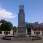 © Anthony WinwardCC BY 3.0
The Cenotaph, Middlesbrough
names not yet transcribed
Middleton Tyas
Monk Fryston
-
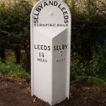 © C MintoCC BY-SA 2.0
Milestone Approximately 0.4 Miles East Of Junction With A162
-
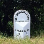 © C MintoCC BY-SA 2.0
Milestone Approximately 0.5 Miles East Of Junction With Lowfield Road
Muker
-
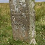 © Roger TemplemanCC BY-SA 2.0
Boundary Stone At Hollow Mill Cross
- Boundary Stone To Cumbria/North Yorks
-
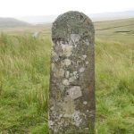 © Gordon HattonCC BY-SA 2.0
Stone Approximately 75 Metres South Of North Yorkshire-Cumbria Boundary
Muston
Nappa
Newby and Scalby
-
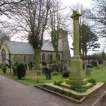 © David RogersCC BY-SA 2.0
Newby and Scalby War Memorial
At the Church of St Laurence · names not yet transcribed
Newby with Mulwith
-
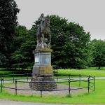 © Chris HeatonCC BY-SA 2.0
Equestrian statue of Charles II of England trampling Cromwell
of Oliver Cromwell, Charles II of England
-
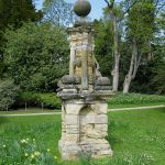 © David RogersCC BY-SA 2.0
Memorial of the Nidd Ferry Disater in Grounds to South of Newby Hall
names not yet transcribed
Newsham
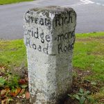
Newton Kyme cum Toulston
- Boundary Stone 1000M East Of Milestone Opposite Junction With Croft Lane
-
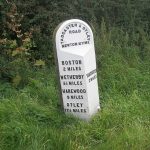 © John SlaterCC BY-SA 2.0
Milestone Opposite Junction With Croft Lane
Normanby
North Cowton
-
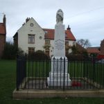 © JThomasCC BY-SA 2.0
North Cowton War Memorial
names not yet transcribed
North Rigton
-
 © D GarsideCC BY-SA 2.0
Boundary marker, North Rigton
- Boundary Stone In Field Wall Approximately 20 Metres From Road Side
Nunthorpe
- Nunthorpe War Memorial names not yet transcribed
Old Byland and Scawton
- Milepost Approximately 150 Metres East Of Spring Cottage And Greystones
-
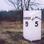 © Milestone SocietyCC BY-SA 2.0
Milepost Approximately 30 Metres South Of High Lodge
- Milepost Approximately 550 Metres North Of Cam House
Oswaldkirk
Pannal
Pannal and Burn Bridge
Paythorne
Plompton
Pockley
Preston-under-Scar
Raskelf
Rawcliffe
Redcar and Cleveland
-
 © Mike RaynerCC BY-SA 2.0
Boundary Stone North, Circa 30 Metres North Of Number 9A
-
 © Rob PollardCC BY-SA 2.0
Eston, Normanby and Barnaby Moor War Memorial
names not yet transcribed
- Guidestone, boundary N Yorks/Richmond & Cleveland
-
 © Stephen McCullochCC BY-SA 2.0
Queen Victoria Jubilee Memorial
names not yet transcribed
- Redcar and Cleveland War Memorial names not yet transcribed
- Redcar and Cleveland War Memorial In the Churchyard of St Cuthbert · names not yet transcribed
- Smith’s Dock Company War Memorial, Normanby names not yet transcribed
- War Memorial Circa 5 metres South West of Church of St Peter names not yet transcribed
- War Memorial in Grounds of Sir William Turners Sixth Form College names not yet transcribed
Riccall
-
 © Ian SCC BY-SA 2.0
Riccall War Memorial
names not yet transcribed
Richmond
-
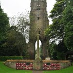 © NilfanionCC BY-SA 4.0
Richmond Borough War Memorial
names not yet transcribed
-
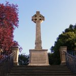 © RDGreggCC BY-SA 2.0
The Green Howards Regimental War Memorial Including Cross, Steps, Piers and Railings
names not yet transcribed
-
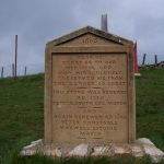 © Joe ReganCC BY-SA 2.0
Willance’s Leap
names not yet transcribed
Richmondshire
-
 © Hilary JonesCC BY-SA 2.0
Guidestone, At Richmond Boundary, just N of Olliver Road
Gilling with Hartforth and Sedbury
-
 © Hilary JonesCC BY-SA 2.0
Guidestone, At X rds East Witton/Leyburn/Finghall/Spennithorn roads (two UC roads), 2.25 miles E of Leyburn
Leyburn
-
 © Milestone SocietyCC BY-SA 2.0
Guidestone, at X rds with UC road nr Stoop House Farm
Leyburn
-
 © Roger TemplemanCC BY-SA 2.0
Guidestone, Aysgarth to Thoralby road
Aysgarth
-
 © Milestone SocietyCC BY-SA 2.0
Guidestone, in Melmerby
Melmerby
-
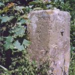 © Milestone SocietyCC BY-SA 2.0
Guidestone, Low Hutton, E of jct with Hutton Hang and Hutton Hill
Leyburn
-
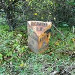 © Maigheach-ghealCC BY-SA 2.0
Milestone, 1 mile E of Grinton
Ellerton Abbey
-
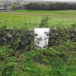 © Milestone SocietyCC BY-SA 2.0
Milestone, 1 mile W of Bainbridge
-
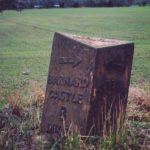 © Christine MintoCC BY-SA 2.0
Milestone, 2 miles W of B6274 jct
Ravensworth
-
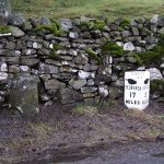 © C MintoCC BY-SA 2.0
Milestone, 40m west of Bird Gill; a mile east of Sedbusk
High Abbotside
-
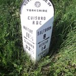 © Keith EvansCC BY-SA 2.0
Milestone, almost opp Boulby Mine
Easington
-
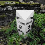 © Milestone SocietyCC BY-SA 2.0
Milestone, between Worton and Bainbridge
Bainbridge
-
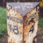 © Christine MintoCC BY-SA 2.0
Milestone, Birk Brow Road (top)
Moorsholm
-
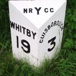 © Keith EvansCC BY-SA 2.0
Milestone, Birk Brow Road(bottom)
Guisborough
-
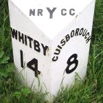 © Keith EvansCC BY-SA 2.0
Milestone, E of Gerrick Lane
Moorsholm
-
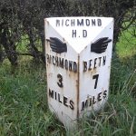 © CMCC BY-SA 2.0
Milestone, E of lane opp to Thorpe under Stone
Downholme
-
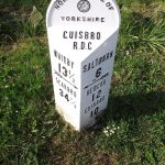 © Keith EvansCC BY-SA 2.0
Milestone, Easington
Easington
-
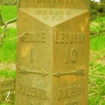 © C MintoCC BY-SA 2.0
Milestone, just E of jct Sinks Lane
Bedale
-
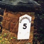 © C MintoCC BY-SA 2.0
Milestone, Lockwood Beck
Moorsholm
-
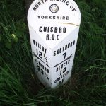 © Keith EvansCC BY-SA 2.0
Milestone, near top of Boulby Bank
Easington
-
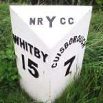 © Keith EvansCC BY-SA 2.0
Milestone, nr Avons Farm
Moorsholm
-
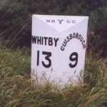 © Christine MintoCC BY-SA 2.0
Milestone, nr B1366 road to Skinningrove
Moorsholm
-
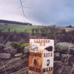 © Christine MintoCC BY-SA 2.0
Milestone, nr entrance to Swale Farm
Ellerton Abbey
-
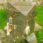 © C MintoCC BY-SA 2.0
Milestone, NW of lane to Hartforth
Ravensworth
-
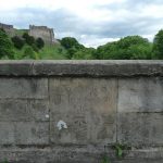 © C MintoCC BY-SA 2.0
Milestone, on bridge over R Swale, just S of town
Richmond
-
 © Maigheach-ghealCC BY-SA 2.0
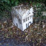
Milestone, opp. entrance to Richmond Caravan Park
Richmond
-
 © Milestone SocietyCC BY-SA 2.0
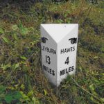
Milestone, Pry Hill, Bainbridge
Bainbridge
-
 © Milestone SocietyCC BY-SA 2.0
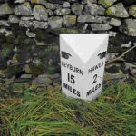
Milestone, Richmondshire
Hawes
-
 © Milestone SocietyCC BY-SA 2.0
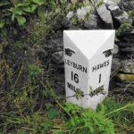
Milestone, Richmondshire
Hawes
-
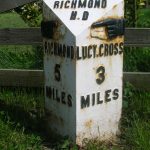 © C MintoCC BY-SA 2.0
Milestone, S end of Melsonby village
Melsonby
-
 © Milestone SocietyCC BY-SA 2.0
Milestone, Thoralby, Humphrey Hill
Aysgarth
-
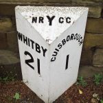 © Keith EvansCC BY-SA 2.0
Milestone, Whitby Road
Guisborough
-
 © C MintoCC BY-SA 2.0
Milestone, Woodhall between Carperby and Askrigg
Newbiggin
-
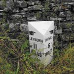 © Milestone SocietyCC BY-SA 2.0
Milestone, Worton
Bainbridge
-
 © C MintoCC BY-SA 2.0
Milestone, X rds S end of village
Redmire
-
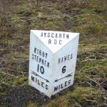 © Maigheach-ghealCC BY-SA 2.0
Milestone, ½ mile N of Moorcock Inn
High Abbotside
-
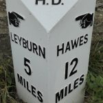 © Mike BardellCC BY-SA 2.0
Replacement Milestone, 20m SE of Swinithwaite Hall
Swinithwaite
Rievaulx
-
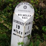 © Maigheach-ghealCC BY-SA 2.0
Milestone East South East Of Rievaulx Village
- Milestone Three Quarters Of A Mile North Of Rievaulx Village
-
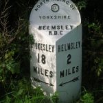 © C MintoCC BY-SA 2.0
Milestone, Approximately Half A Mile East Of Rievaulx Village
Ripley
-
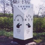 © Christine MintoCC BY-SA 2.0
Milestone, Ripley
-
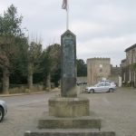 © Betty LongbottomCC BY-SA 2.0
Ripley War Memorial
names not yet transcribed
Ripon
- Milepost Approximately 120 Metres East Of The Parish Boundary With Studley Roger
-
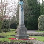 © Gordon HattonCC BY-SA 2.0
Ripon War Memorial
100 names
-
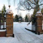 © David RogersCC BY-SA 2.0
Statue of the First Marquess of Ripon
of George Robinson, 1st Marquess of Ripon
Romanby
Rosedale East Side
-
 © Mike RaynerCC BY-SA 2.0
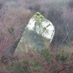
Boundary marker, Rosedale East Side
-
 © Mike RaynerCC BY-SA 2.0
Boundary marker, Rosedale East Side
-
 © Mike RaynerCC BY-SA 2.0
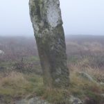
Boundary marker, Rosedale East Side
-
 © Mike RaynerCC BY-SA 2.0
Boundary marker, Rosedale East Side
- Boundary marker, Rosedale East Side
- Boundary marker, Rosedale East Side
-
 © Mike RaynerCC BY-SA 2.0
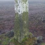
Boundary marker, Rosedale East Side
- Boundary marker, Rosedale East Side
-
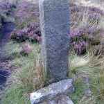 © Milestone SocietyCC BY-SA 2.0
Fingerpost, Rosedale East Side
Rosedale West Side
-
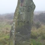 © Mike RaynerCC BY-SA 2.0
Boundary marker, Rosedale West Side
-
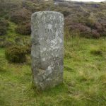 © Milestone SocietyCC BY-SA 2.0
Fingerpost, Rosedale West Side
Roxby
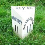
Ryedale
-
 © Milestone SocietyCC BY-SA 2.0
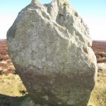
Cammon Stone
Bransdale
-
 © Milestone SocietyCC BY-SA 2.0
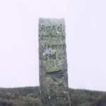
Guidestone, 1½miles north of Hutton le Hole
Hutton-le-Hole
-
 © C MintoCC BY-SA 2.0
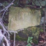
Guidestone, Bilsdale,nr entrance to Helm House
Hawnby
-
 © Milestone SocietyCC BY-SA 2.0
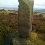
Guidestone, Flat Howe on Glaisdale Moor
Eskdaleside cum Ugglebarnby
-
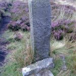 © Milestone SocietyCC BY-SA 2.0
Guidestone, Rosedale Head Road
Rosedale East Side
-
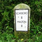 © JThomasCC BY-SA 2.0
Milestone, 1 mile E of Snainton, between EP 10 & 11
Ebberston and Yedingham
-
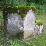 © C MintoCC BY-SA 2.0
Milestone, 1 mile S of Sproxton nr uc road to Ampleforth
Sproxton
-
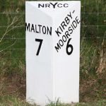 © J HowatCC BY-SA 2.0
Milestone, Barugh Lane, N of Great Barugh
Barugh (Great and Little)
-
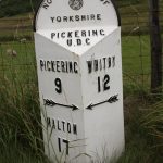 © C MintoCC BY-SA 2.0
Milestone, carved stone post, near entrance to Barr Farm
Lockton
-
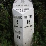 © C MintoCC BY-SA 2.0
Milestone, carved stone post, S of Lockton nearly opp blue sign ‘Severe Gradients’
Lockton
-
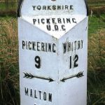 © C MintoCC BY-SA 2.0
Milestone, cast iron post, near entrance to Barr Farm
Lockton
-
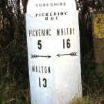 © C MintoCC BY-SA 2.0
Milestone, cast iron post, S of Lockton nearly opp blue sign ‘Severe Gradients’
Lockton
-
 © Christine MintoCC BY-SA 2.0
Milestone, East Gilling, opp. green metal TP signpost
Gilling with Hartforth and Sedbury
-
 © C MintoCC BY-SA 2.0
Milestone, Ebberston, nr St Mary’s Church
Pickering
-
 © C MintoCC BY-SA 2.0
Milestone, N of Scalla Moor Farm
Pickering
-
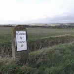 © C MintoCC BY-SA 2.0
Milestone, N of Yedingham, on straight road, opp. Electric pole DP14P6
Ebberston and Yedingham
-
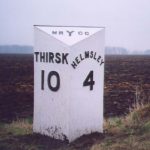 © C MintoCC BY-SA 2.0
Milestone, on long straight
Sproxton
-
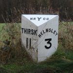 © David RogersCC BY-SA 2.0
Milestone, on straight road
Sproxton
-
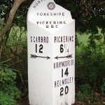 © Milestone SocietyCC BY-SA 2.0
Milestone, Penniston Lane, Allerston
Pickering
-
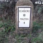 © JHoCC BY-SA 2.0
Milestone, Rillington
Rillington
-
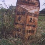 © Christine MintoCC BY-SA 2.0
Milestone, Ryedale
Pickering
-
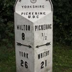 © C MintoCC BY-SA 2.0
Milestone, Ryedale
Pickering
-
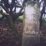 © C MintoCC BY-SA 2.0
Milestone, Ryedale
Lockton
-
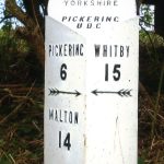 © C MintoCC BY-SA 2.0
Milestone, Ryedale
Lockton
-
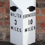 © J HowatCC BY-SA 2.0
Milestone, Seven Wells, Main Street, Amotherby
Amotherby
-
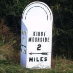 © C MintoCC BY-SA 2.0
Milestone, Sinnington Common
Sinnington
-
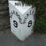 © Keith EvansCC BY-SA 2.0
Milestone, Stainton, opp. thatched cottage
Pickering
-
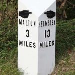 © J HowatCC BY-SA 2.0
Milestone, W end of Amotherby
Amotherby
-
 © J HowatCC BY-SA 2.0
Milestone, W of Gate Helmsley
Gate Helmsley
-
 © Jeremy HowatCC BY-SA 2.0
Milestone, W of Rillington Fields
Scagglethorpe
-
 © Keith EvansCC BY-SA 2.0
Milestone, Wilton village, at Hollies Farm
Pickering
-
 © JHoCC BY-SA 2.0
Milestone, Yedingham, The Providence PH
Ebberston and Yedingham
-
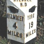 © J HowatCC BY-SA 2.0
Milestone, ¾ mile N of Gilling
Gilling with Hartforth and Sedbury
Rylstone
Saltburn, Marske and New Marske
- Albert Memorial names not yet transcribed
-
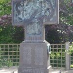 © Simon ArmstrongCC BY-SA 3.0
Saltburn War Memorial
names not yet transcribed
- War Memorial of Church of St Mark with Attached Piers and Linking Chains War Memorial South West of Church of St Mark with Attached Piers and Linking Chains names not yet transcribed
Sand Hutton
-
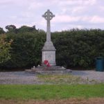 © Sam KellyCC BY-SA 2.0
Sand Hutton and Claxton War Memorial
names not yet transcribed
Sawley
-
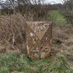 © Hilary JonesCC BY-SA 2.0
Mile Post Approximately 150 Metres East Of Junction With Sawley Moor Lane
Saxton with Scarthingwell
-
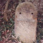 © Christine MintoCC BY-SA 2.0
Milestone Approimately 50 Metres South Of Junction With Scarthingwell Lane
-
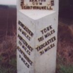 © Christine MintoCC BY-SA 2.0
Milestone Approximately 100 Metres North Of Junction With Scarthingwell Lane
Scampston
-
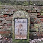 © David RogersCC BY-SA 2.0
Milestone Approximately 40 Metres West Of The Gates To Scampston Hall
-
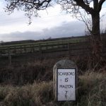 © C MintoCC BY-SA 2.0
Milestone Approximately 500 Metres South Of Knapton Lodge
-
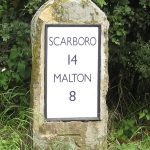 © Pauline ECC BY-SA 2.0
Milestone Approximately 60 Metres South-East Of Ings Farm
-
 © JHoCC BY-SA 2.0
Milestone, Scampston
Scarborough
-
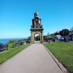 © MainlymazzaCC BY-SA 4.0
George V Coronation Memorial Clock Tower
names not yet transcribed
-
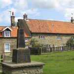 © Pauline ECC BY-SA 2.0
Goathland War Memorial
names not yet transcribed
-
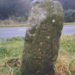 © Milestone SocietyCC BY-SA 2.0
Guidestone, Lady Cross, jct road to Hutton Mulgrave from the A171
Hutton Mulgrave
-
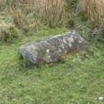 © Milestone SocietyCC BY-SA 2.0
Guidestone, SW of Lealholm
Glaisdale
-
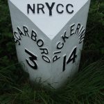 © Keith EvansCC BY-SA 2.0
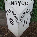
Milestone, 1 mile E of East Ayton
East Ayton
-
 © Keith EvansCC BY-SA 2.0
Milestone, 50m E of X rds sign
Wykeham
-
 © J HowatCC BY-SA 2.0
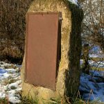
Milestone, between Snainton & Brompton
Brompton
-
 © C MintoCC BY-SA 2.0
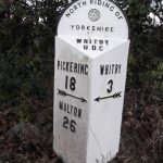
Milestone, Briggswath by bus stop
Aislaby
-
 © Keith EvansCC BY-SA 2.0
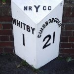
Milestone, Castle Road, Whitby
Whitby
-
 © Keith EvansCC BY-SA 2.0
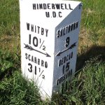
Milestone, Dalehouse
Hinderwell
-
 © C MintoCC BY-SA 2.0
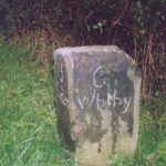
Milestone, entrance to Coquet Nook
Hutton Mulgrave
-
 © JHoCC BY-SA 2.0
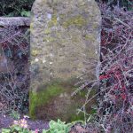
Milestone, Flixton
Folkton
-
 © C MintoCC BY-SA 2.0
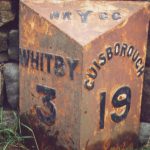
Milestone, Guisborough Road opp track to farm
Aislaby
-
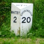 © C MintoCC BY-SA 2.0
Milestone, Guisborough Road, just E of A169 TI
Newholm-cum-Dunsley
-
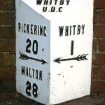 © C MintoCC BY-SA 2.0
Milestone, High Stakesby,Whitby
Whitby
-
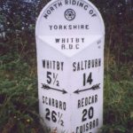 © Milestone SocietyCC BY-SA 2.0
Milestone, High Street East Barnby, jct with Ashton Lane and Maltby Lane
Barnby
-
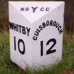 © C MintoCC BY-SA 2.0
Milestone, just S of B1266 jct
Newton Mulgrave
-
 © C MintoCC BY-SA 2.0
Milestone, just S of entrance to Fylingdales Early Warning Station
Fylingdales
-
 © C MintoCC BY-SA 2.0
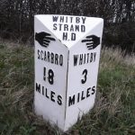
Milestone, Long Lease N of High Hawsker
Hawsker-cum-Stainsacre
-
 © Christine MintoCC BY-SA 2.0
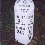
Milestone, Lythe Bank, N of Sandsend
Whitby
-
 © C MintoCC BY-SA 2.0
Milestone, Muston
Muston
-
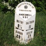 © Keith EvansCC BY-SA 2.0
Milestone, N of Ellerby
Hinderwell
-
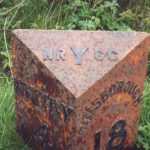 © Christine MintoCC BY-SA 2.0
Milestone, nr Bends sign
Hutton Mulgrave
-
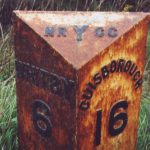 © Christine MintoCC BY-SA 2.0
Milestone, nr road to Hutton Mulgrave
Hutton Mulgrave
-
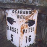 © Milestone SocietyCC BY-SA 2.0
Milestone, Outside 48 High Street, Burniston
Burniston
-
 © Keith EvansCC BY-SA 2.0
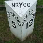
Milestone, Pickering Road
West Ayton
-
 © Keith EvansCC BY-SA 2.0
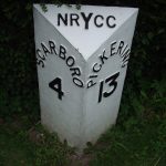
Milestone, Racecourse Road
East Ayton
-
 © David RogersCC BY-SA 2.0
Milestone, Stepney Road, Scarborough
Scarborough
-
 © Milestone SocietyCC BY-SA 2.0
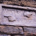
Milestone, Stonegate
Lealholm
-
 © C MintoCC BY-SA 2.0
Milestone, ¼ mile SE of Falcon Inn
Harwood Dale
-
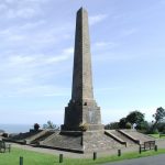 © Paul GlazzardCC BY-SA 2.0
Scarborough War Memorial
names not yet transcribed
-
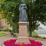 © Benjamin SmithCC BY-SA 4.0
Statue of Queen Victoria
1 name
Scriven
-
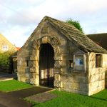 © David RogersCC BY-SA 2.0
Scriven War Memorial
names not yet transcribed
Selby
-
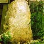 © Milestone SocietyCC BY-SA 2.0
Guidestone, Stutton Road, Tadcaster
Tadcaster
-
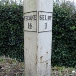 © JThomasCC BY-SA 2.0
Milestone, Bawtry Road, S end of canal bridge
Selby
-
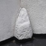 © J HowattCC BY-SA 2.0
Milestone, Church St, Brotherton
Brotherton
-
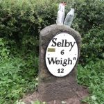 © Minto C MintoCC BY-SA 2.0
Milestone, E of North Duffield
North Duffield
- Milestone, Low Street, Sherburn opp Cliff Garage Sherburn
-
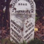 © Christine MintoCC BY-SA 2.0
Milestone, Milford Road N end of South Milford S of rly bridge
Sherburn
-
 © Christine MintoCC BY-SA 2.0
Milestone, N of Chapel Haddesley, N side of X rds
Chapel Haddlesey
-
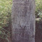 © Christine MintoCC BY-SA 2.0
Milestone, N of Lake Drain bridge
Womersley
-
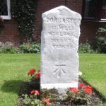 © C MintoCC BY-SA 2.0
Milestone, N of M62 J34, on old road cut off by motorway
Whitley
-
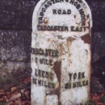 © Christine MintoCC BY-SA 2.0
Milestone, on old A64, E of Tadcaster, nr flyover jct with by-pass
Tadcaster
-
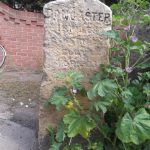 © C MintoCC BY-SA 2.0
Milestone, S end of Whitley village
Whitley
-
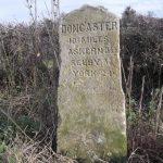 © C MintoCC BY-SA 2.0
Milestone, S of Balne Moor X rds at minor X rds
Womersley
-
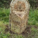 © C MintoCC BY-SA 2.0
Milestone, W of last houses in Selby on slight left-hand bend
Selby
-
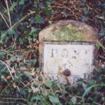 © Milestone SocietyCC BY-SA 2.0
Milestone, Weeland Road, E of lane to Beal opposite
Beal
Settle
-
 © Luke ShawCC BY-SA 2.0
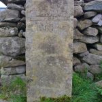
Mile Post To West Of Turnpike House
-
 © John S TurnerCC BY-SA 2.0
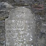
Milestone, Settle
-
 © Phil PlattCC BY-SA 2.0
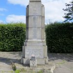
Settle War Memorial
50 names
Sherburn
Sheriff Hutton
- Statue of Alexander Approximately 210 metres South East of Sheriff Hutton Hall · of Alexander the Great
Shipton
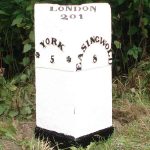
Sinnington
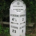
Skeeby
- Barracks Bank Milepost
-
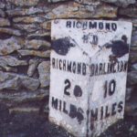 © Christine MintoCC BY-SA 2.0
Milepost Approximately 10 Metres East Of School House
Skelton
Skipton
-
 © H JonesCC BY-SA 2.0
Boundary marker, Skipton
-
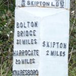
 © H JonesCC BY-SA 2.0
Boundary marker, Skipton
-
 © C MintoCC BY-SA 2.0
Milestone At About 1 Kilometre From Parish Boundary
-
 © Christine MintoCC BY-SA 2.0
Milestone At About 2.6 Kilometres From Parish Boundary
-
 © Only By LandCC BY-SA 4.0
Skipton War Memorial
names not yet transcribed
-
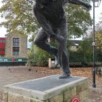 © GpwitteveenCC BY-SA 3.0
Statue of Freddie Trueman OBE
of Fred Trueman
-
 © DaderotPublic Domain Mark
Statue of Sir Matthew Wilson
1 name
Skipwith
- Skipwith War Memorial names not yet transcribed
Slingsby
Sneaton
South Milford
-
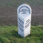 © Alan Murray-RustCC BY-SA 2.0
Milestone Approximately 0.4 Miles From Junction With Selby And Leeds Road (A63)
South Stainley with Cayton
-
 © C MintoCC BY-SA 2.0
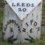
Milepost At Corner Of Green Lane
-
 © C MintoCC BY-SA 2.0
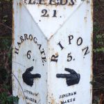
Milestone, South Stainley with Cayton
South Stainley
Sowerby
Spofforth with Stockeld
-
 © Tim Green from BradfordCC BY 2.0
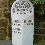
Milepost Against North Corner Of Castle Farmhouse
-
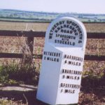 © Christine MintoCC BY-SA 2.0
Milepost Approximately 1 Mile South Of Spofforth
Sproxton
-
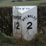 © David RogersCC BY-SA 2.0
Milestone Approximately Half A Mile West Of Village
-
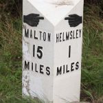 © J HowatCC BY-SA 2.0
Milestone Approximately Quarter Of A Mile North Of Village N Of Village
Stainburn
-
 © Humphrey BoltonCC BY-SA 2.0
Boundary Stone At Gravelly Hill, Approximately 400 Metres North Of Road
- Boundary Stone In Garden Wall Approximately 15 Metres East Of Green Acres
-
 © Mel TowlerCC BY-SA 2.0
Boundary Stone In Hedge Line Approximately 5 Metres From Lane
- Boundary Stone On Former Hedge Line, Approximately 50 Metres North Of Road
- Boundary Stone On Former Hedge Line, Approximately 80 Metres North Of Road
- Milepost At Moorside Bridge
-
 © Christine MintoCC BY-SA 2.0
Milestone, Stainburn
Stainforth
- Boundary Stone 150 Metres South West Of Helwith Bridge
- Boundary Stone 150 Metres West Of Sunny Bank Barn
- Boundary Stone Circa 150 Metres South West Of Helwith Bridge
-
 © T WallCC BY-SA 2.0
Boundary Stone, 250 Metres South Of Cattrigg Force
Stainton
Stapleton
Steeton
- Milestone 1 Mile South Of Milestone Approximately 100 Metres South Of Junction With Colton Lane
- Milestone Approximately 100 Metres South Of Junction With Colton Lane
Stillington
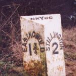
Stirton with Thorlby
-
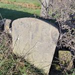 © D PhillipsCC BY-SA 2.0
Boundary marker, Stirton with Thorlby
- Boundary marker, Stirton with Thorlby
-
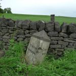 © Milestone SocietyCC BY-SA 2.0
Fingerpost, Stirton with Thorlby
- Milestone At Holme Bridge
-
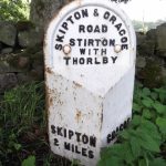 © C MintoCC BY-SA 2.0
Milestone, Stirton with Thorlby
- Milestone, Stirton with Thorlby
Stockton-on-the-Forest
-
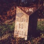 © Christine MintoCC BY-SA 2.0
Milepost Approximately 500 Metres South Of Stockton Hermitage
- Milepost Approximately 75 Metres South Of Hazelbush Cafe
-
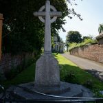 © Ian SCC BY-SA 2.0
Stockton-on-the-Forest War Memorial
names not yet transcribed
Stonegrave
-
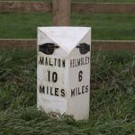 © J HowatCC BY-SA 2.0
Milepost Approximately 100 Metres South-East Of South Farm
-
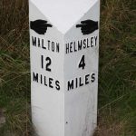 © C MintoCC BY-SA 2.0
Milepost Approximately 350 Metres North Of Birch House
-
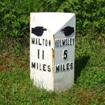 © JThomasCC BY-SA 2.0
Milepost Approximately 400 Metres East Of Stonegrave Lodge
Strensall with Towthorpe
- Milepost Opposite Main Entrance To Strensall Camp
- Strensall War Memorial names not yet transcribed
-
 © Ian SCC BY-SA 2.0
Strensall with Towthorpe village sign
Sutton
-
 © Milestone SocietyCC BY-SA 2.0
Boundary Stone Opposite Bridge End Farm
-
 © C MintoCC BY-SA 2.0
Milestone, Sutton
-
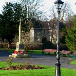 © David RogersCC BY-SA 2.0
Sutton-in-Craven War Memorial
names not yet transcribed
Sutton-on-the-Forest
-
 © Milestone SocietyCC BY-SA 2.0
Milepost Approximately 170 Metres To South Of Grange Farmhouse
-
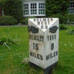 © Chris MintoCC BY-SA 2.0
Milepost In Front Of Laughton House
Sutton-under-Whitestonecliffe
-
 © Milestone SocietyCC BY-SA 2.0
Milepost Approximately 170 Metres To East Of Drive To Whitestone Gardens
-
 © Milestone SocietyCC BY-SA 2.0
Milepost Approximately 225 Metres To West Of Track To Gormire Lake
Swinton
Tadcaster
-
 © Chris MintoCC BY-SA 2.0
Milestone Approximately 0.25 Miles From Junction With Sutton Lane
-
 © C MintoCC BY-SA 2.0
Milestone Approximately 0.5 Miles From Junction With Garnet Lane
-
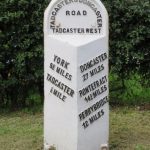 © C MintoCC BY-SA 2.0
Milestone Approximately 80 Metres West Of Junction With Carnet Lane
- Milestone At Junction With A162
-
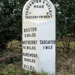 © JThomasCC BY-SA 2.0
Milestone One Mile East Of Milestone Opposite Junction With Croft Lane
Thirkleby High and Low with Osgodby
Thirsk
- Mile Post Between Plumpbank Farm And Road To Felix Kirk
-
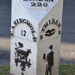 © Keith EvansCC BY-SA 2.0
Mile Post Opposite Number 15
-
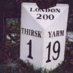 © Christine MintoCC BY-SA 2.0
Mile Post Outside Burniston
Thoralby
Thormanby
Thornaby
- Thornaby War Memorial names not yet transcribed
Thornton Rust
- Mile Stone Approximately 100 Metres West Of Wauley Beck
-
 © Chris MintoCC BY-SA 2.0
Mile Stone Approximately 200 Metres West Of Parish Boundary
Thornton Steward
Thornton in Lonsdale
-
 © Philip PlattCC BY-SA 2.0
Boundary Stone On Bridge To East Of Broadwood Cottage
-
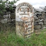 © John S TurnerCC BY-SA 2.0
Milestone, Thornton in Lonsdale
-
 © SGCC BY-SA 2.0
Milestone, W of Ingleton at fork, lanes to Thornton in Lonsdale and onto A65(called New Road) at that jct
Thornton in Lonsdale
-
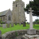 © John S TurnerCC BY-SA 2.0
Thornton in Lonsdale War Memorial
names not yet transcribed
Thornton-in-Craven
-
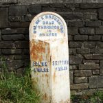 © C MintoCC BY-SA 2.0
Milestone 300 Metres South Of Gubs Hill
-
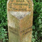 © Tim Green from BradfordCC BY 2.0
Milestone, Thornton-in-Craven
Thorpe
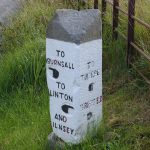
Thorpe Underwoods
Thorpe Willoughby

Threshfield
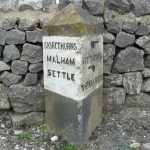
Tollerton
Topcliffe
Towton
Ugthorpe
Upper Poppleton
Warthill
Weaverthorpe
- Weaverthorpe War Memorial names not yet transcribed
Weeton
-
 © Roger TemplemanCC BY-SA 2.0
Boundary Stone, Weeton And Rigton Parishes
-
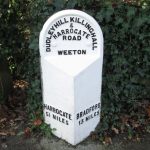 © Betty LongbottomCC BY-SA 2.0
Milepost, Approximately 150 Metres North Of Huby Crossroads
- Sign Post At Junction With Bradford To Harrogate Road
West Hauxwell
- Obelisk names not yet transcribed
West Witton
-
 © Milestone SocietyCC BY-SA 2.0
Fingerpost, West Witton
-
 © Christine MintoCC BY-SA 2.0
Mile Post Approximately 100 Metres South West of Alma Farm
-
 © Chris MintoCC BY-SA 2.0
Mile Post Approximately Forty Metres South Of West Witton School
-
 © C MintoCC BY-SA 2.0
Mile Post On Temple Bank Approximately Three Hundred Metres West Of Temple Farm
-
 © Chris MintoCC BY-SA 2.0
Milestone, 20m SE of Swinithwaite Hall
Swinithwaite
Westerdale
-
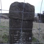 © Chris MintoCC BY-SA 2.0
Guidestone 110 Yards North-East Of Birk Field Quarry
-
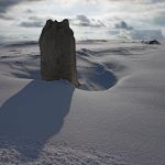 © colin griceCC BY-SA 2.0
The Margery Bradley standing stone
Wheldrake
Whitby
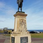
Whitwell-on-the-Hill
-
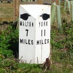 © JThomasCC BY-SA 2.0
Milepost Approximately 159 Metres North East Of The Junction With The C61 Road
Whixley
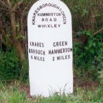
Wigginton
- Milepost Approximately 350 Metres South Of Strathard
-
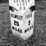 © Milestone SocietyCC BY-SA 2.0
Milepost Opposite Villa Farm
Willerby
-
 © C MintoCC BY-SA 2.0
Milestone Approximately 200 Metres South Of Willerby Grange
- Staxton and Willerby War Memorial names not yet transcribed
Wistow
- Wistow War Memorial names not yet transcribed
Yarm
- Yarm War Memorial names not yet transcribed